Grabmale Eisenach
Grabmale Eisenach is a stonemason in Eisenach, Wartburgkreis, Thuringia. Grabmale Eisenach is situated nearby to the church Evangelisch-Freikirchliche Gemeinde Eisenach, as well as near the sports venue Werner-Aßmann-Halle.| Tap on a place to explore it |
Places of Interest Nearby
Highlights include Wartburgstadion Eisenach and Eisenach Main Cemetery.
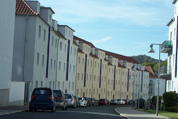
Wartburgstadion Eisenach
Stadium

Photo: Lucas Friese, CC BY-SA 4.0.
Wartburgstadion Eisenach is a stadium, which is situated 330 metres southwest of Grabmale Eisenach.
Eisenach Main Cemetery
Cemetery

Photo: Metilsteiner, CC BY-SA 3.0.
Eisenach Main Cemetery is situated 320 metres east of Grabmale Eisenach.
Protestant Church (Eisenach)
Church

Photo: Metilsteiner, CC BY 3.0.
Protestant Church (Eisenach) is situated 590 metres east of Grabmale Eisenach.
Places in the Area
Nearby places include BMW-Siedlung and Kulturfabrik Alte Mälzerei.
Kulturfabrik Alte Mälzerei
Locality

Photo: Metilsteiner, CC BY 3.0.
Kulturfabrik Alte Mälzerei is a locality.

Grabmale Eisenach
- Type: Stonemason
- Categories: commerce and workshop
- Location: Eisenach, Wartburgkreis, Thuringia, Germany, Central Europe, Europe
- View on OpenStreetMap
Latitude
50.98624° or 50° 59′ 11″ northLongitude
10.31313° or 10° 18′ 47″ eastOperator
Ulrike SchneiderOpen location code
9F2GX8P7+F7OpenStreetMap ID
way 823930681OpenStreetMap feature
craft=stonemasonOpenStreetMap feature
landuse=commercial
This page is based on OpenStreetMap, Wikidata, and Wikimedia Commons.
We’d love your help improving our open data sources. Thank you for contributing.
Satellite Map
Discover Grabmale Eisenach from above in high-definition satellite imagery.
Notable Places Nearby
Highlights include Evangelisch-Freikirchliche Gemeinde Eisenach and Werner-Aßmann-Halle.
Nearby Places
Explore places such as Winkler and Wartburg-Sparkasse.
Curious Stonemasons to Discover
Uncover intriguing stonemasons from every corner of the globe.
About Mapcarta. Data © OpenStreetMap contributors and available under the Open Database License". Text is available under the CC BY-SA 4.0 license, except for photos, directions, and the map. Photo: Misburg3014, CC BY-SA 3.0.