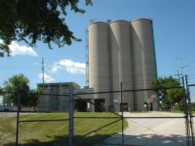
Institute for Food Safety and Health
Institute for Food Safety and Health is an office building in Lyons Township, Cook, Illinois which is located on South Archer Avenue. Institute for Food Safety and Health is situated nearby to Bedford Park Public Library, as well as near the police station Bedford Park Police Department.| Tap on a place to explore it |
Places of Interest Nearby
Highlights include SeatGeek Stadium and Argo Community High School.
SeatGeek Stadium
Stadium

Photo: Khvmty, CC BY-SA 3.0.
SeatGeek Stadium is a soccer-specific stadium in Bridgeview, Illinois, about 12 miles southwest of downtown Chicago. It is the home stadium of Chicago Stars FC of the National Women's Soccer League, Chicago Fire FC II of MLS Next Pro, and the Chicago Hounds of Major League Rugby. SeatGeek Stadium is situated 1 mile southeast of Institute for Food Safety and Health.
Argo Community High School
School
Argo Community High School is a public four-year high school located in Summit, Illinois, a western suburb of Chicago. The district draws students from the communities of Summit, Bedford Park, Bridgeview, Justice, Willow Springs, and a portion of Hickory Hills. Argo Community High School is situated 3,000 feet east of Institute for Food Safety and Health.
Summit station
Railway station
Summit is an Amtrak and Metra train station in Summit, Illinois. It is served by Amtrak Illinois' Lincoln Service, which operates daily, and Metra's Heritage Corridor commuter line, which operates only during morning and evening rush hours in peak direction. Summit station is situated 1½ miles north of Institute for Food Safety and Health.
Places in the Area
Nearby places include Summit and Bridgeview.
Summit
Town
 Summit is a city in Cook County, Illinois, United States. The population was 11,161 at the 2020 census. The name Summit, in use since 1836, refers to the highest point on the Chicago Portage between the northeast-flowing Chicago River and the southwest-flowing Des Plaines River located just north of the city.
Bridgeview
Town
 Bridgeview is a village in Cook County, Illinois, United States. It is located approximately 15 miles southwest of the Chicago Loop. As of the 2020 census, the village population was 17,027. Bridgeview is situated 1½ miles southeast of Institute for Food Safety and Health.
Hodgkins
Village
Hodgkins is a village in Cook County, Illinois, United States, and is an industrial suburb of Chicago. The population was 1,500 at the 2020 census, down from 1,897 at the 2010 census. Hodgkins is situated 2 miles west of Institute for Food Safety and Health.
Institute for Food Safety and Health
- Type: Office building
- Address: 6502 South Archer Avenue, Bedford Park, IL 60638
- Categories: building, research, and office
- Location: Lyons Township, Cook, Illinois, Midwest, United States, North America
- View on OpenStreetMap
Latitude
41.77311° or 41° 46′ 23″ northLongitude
-87.81762° or 87° 49′ 3″ westOpen location code
86HJQ5FJ+6XOpenStreetMap ID
way 824494560OpenStreetMap feature
building=officeOpenStreetMap feature
office=research
This page is based on OpenStreetMap, Wikidata, and Wikimedia Commons.
We’d love your help improving our open data sources. Thank you for contributing.
Satellite Map
Discover Institute for Food Safety and Health from above in high-definition satellite imagery.
Notable Places Nearby
Highlights include Bedford Park Public Library and Bedford Park Police Department.
Nearby Places
Explore places such as W W Walker Elementary School and Walker Elementary School.
Illinois: Must-Visit Destinations
Delve into Chicago, Springfield, Rockford, and Loop.
Curious Office Buildings to Discover
Uncover intriguing office buildings from every corner of the globe.
About Mapcarta. Data © OpenStreetMap contributors and available under the Open Database License". Text is available under the CC BY-SA 4.0 license, except for photos, directions, and the map. Photo: Rastapopulous, CC BY-SA 3.0.