TKS
TKS is a building in Wadern, Saarland. TKS is situated nearby to the sports venue Eichenlaubhalle, as well as near the fire station Alte Schule Steinberg.| Tap on a place to explore it |
Places of Interest Nearby
Highlights include St. Jakobus der Ältere (Weiskirchen) and Teufelskopf.
St. Jakobus der Ältere (Weiskirchen)
Church

Photo: Berthold Werner, CC BY-SA 4.0.
St. Jakobus der Ältere (Weiskirchen) is a church, which is situated 2½ km southwest of TKS.
Teufelskopf
Peak

Photo: Meulenwald, CC BY-SA 3.0.
Teufelskopf is a peak, which is situated 3½ km northwest of TKS.
St. Martin
Church
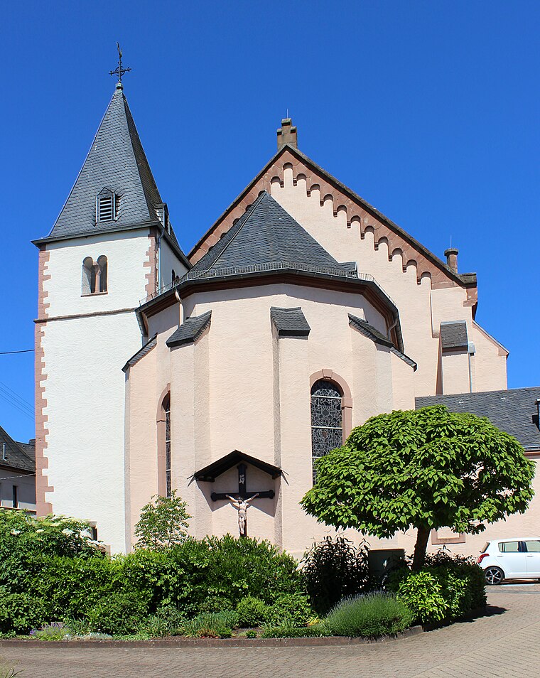
Photo: Mstp77, CC BY-SA 4.0.
St. Martin is a church, which is situated 3½ km northeast of TKS.
Places in the Area
Nearby places include Weiskirchen and Wadern.
Weiskirchen
Village

Photo: Barthwo, CC BY-SA 3.0.
Weiskirchen is a municipality in the district Merzig-Wadern, in Saarland, Germany. It is situated in the Hunsrück, approx. 20 km northeast of Merzig, and 25 km southeast of Trier. Weiskirchen is situated 2½ km southwest of TKS.
Wadern
Town

Photo: Pelz, CC BY-SA 3.0.
Wadern is a municipality in the federal state Saarland, which is situated in the southwest of Germany. It is part of the district Merzig-Wadern. Wadern consists of 13 urban districts with approximately 16.000 inhabitants. Wadern is situated 4½ km southeast of TKS.
Noswendel
Village

Photo: Haberkuk, CC BY-SA 3.0.
Noswendel is a village, which is situated 5 km south of TKS.
TKS
- Type: Building
- Location: Wadern, Merzig-Wadern, Saarland, Germany, Central Europe, Europe
- View on OpenStreetMap
Latitude
49.5688° or 49° 34′ 8″ northLongitude
6.84609° or 6° 50′ 46″ eastOpen location code
8FX8HR9W+GCOpenStreetMap ID
way 825202175OpenStreetMap feature
building=yes
This page is based on OpenStreetMap, Wikidata, and Wikimedia Commons.
We’d love your help improving our open data sources. Thank you for contributing.
Satellite Map
Discover TKS from above in high-definition satellite imagery.
Places with the Same Name
Discover other places named “TKS”.
Notable Places Nearby
Highlights include Eichenlaubhalle and Alte Schule Steinberg.
Nearby Places
Explore places such as Tischlerei Lauer and Grundschule St. Martin Wadrill-Steinberg.
Saarland: Must-Visit Destinations
Delve into Saarbrücken, Saarlouis, Homburg, and Merzig.
Curious Buildings to Discover
Uncover intriguing buildings from every corner of the globe.
About Mapcarta. Data © OpenStreetMap contributors and available under the Open Database License". Text is available under the CC BY-SA 4.0 license, except for photos, directions, and the map. Photo: wolfgangstaudt, CC BY 2.0.