Maison de l’Aire
Maison de l’Aire is a chalet in Rochegude, Arrondissement of Alès, Occitanie. Maison de l’Aire is situated nearby to the church Église Saint-Paul de Rochegude, as well as near the town hall Mairie de Rochegude.| Tap on a place to explore it |
Places of Interest Nearby
Highlights include Église Saint-Paul de Rochegude and Église Saint-Jean de Saint-Jean-de-Maruéjols-et-Avéjan.
Église Saint-Paul de Rochegude
Church

Photo: Bastien marie-françoise, CC BY-SA 4.0.
Église Saint-Paul de Rochegude is a church.
Église Saint-Jean de Saint-Jean-de-Maruéjols-et-Avéjan
Church

Photo: Bastien marie-françoise, CC BY-SA 4.0.
Église Saint-Jean de Saint-Jean-de-Maruéjols-et-Avéjan is a church, which is situated 2 km north of Maison de l’Aire.
Église Saint-Privat de Rivières
Church

Photo: Bastien marie-françoise, CC BY-SA 4.0.
Église Saint-Privat de Rivières is a church, which is situated 2 km southwest of Maison de l’Aire.
Places in the Area
Nearby places include Saint-Jean-de-Maruéjols-et-Avéjan and Méjannes-le-Clap.
Saint-Jean-de-Maruéjols-et-Avéjan
Village
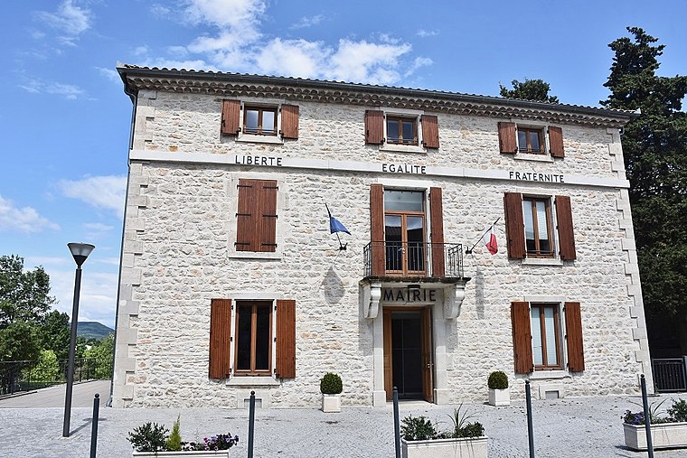
Photo: Bastien marie-françoise, CC BY-SA 4.0.
Saint-Jean-de-Maruéjols-et-Avéjan is a commune in the Gard department in southern France.
Méjannes-le-Clap
Village
 Méjannes-le-Clap is a commune in the Gard department in southern France. It is located 30 km north east of Alès, close to the river Cèze. It is a centre for outdoor activities and environmental tourism. Méjannes-le-Clap is situated 4½ km east of Maison de l’Aire.
Saint-Sauveur-de-Cruzières
Village

Photo: Raymondseneque, CC BY-SA 3.0.
Saint-Sauveur-de-Cruzières is a commune in the Ardèche department in southern France. Saint-Sauveur-de-Cruzières is situated 8 km northwest of Maison de l’Aire.
Maison de l’Aire
- Type: Chalet
- Categories: building, tourism, and accommodation
- Location: Rochegude, Arrondissement of Alès, Gard, Occitanie, France, Europe
- View on OpenStreetMap
Latitude
44.23856° or 44° 14′ 19″ northLongitude
4.29572° or 4° 17′ 45″ eastOpen location code
8FP667QW+C7OpenStreetMap ID
way 826496675OpenStreetMap feature
building=yesOpenStreetMap feature
tourism=chalet
This page is based on OpenStreetMap, Wikidata, and Wikimedia Commons.
We’d love your help improving our open data sources. Thank you for contributing.
Satellite Map
Discover Maison de l’Aire from above in high-definition satellite imagery.
Notable Places Nearby
Highlights include Mairie de Rochegude and Place des Mûriers.
Nearby Places
Explore places such as Place de la Solidarité and Guigette Rochegude.
Gard: Must-Visit Destinations
Delve into Nîmes, Alès, Aigues-Mortes, and Remoulins.
Curious Chalets to Discover
Uncover intriguing chalets from every corner of the globe.
About Mapcarta. Data © OpenStreetMap contributors and available under the Open Database License". Text is available under the CC BY-SA 4.0 license, except for photos, directions, and the map. Photo: NikosB30, CC BY-SA 3.0.