Boulodrome des Pinnières
Boulodrome des Pinnières is a pitch in Breteil, Arrondissement of Rennes, Brittany. Boulodrome des Pinnières is situated nearby to the pitch Terrain d’honneur, as well as near the sports venue Parc des sports.| Tap on a place to explore it |
Places of Interest Nearby
Highlights include Gare de Breteil and Église Saint-Malo de Breteil.
Gare de Breteil
Railway station

Photo: Olivier92, CC BY-SA 3.0.
Gare de Breteil is a railway station, which is situated 1 km southwest of Boulodrome des Pinnières.
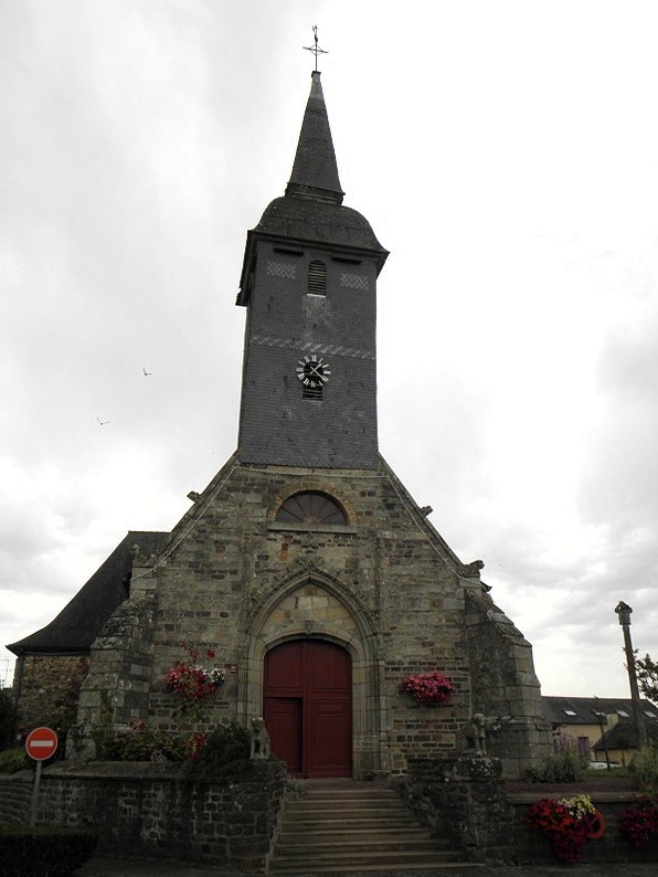
Église Saint-Malo de Breteil
Church

Photo: Floranne2006, CC BY-SA 3.0.
Église Saint-Malo de Breteil is a church, which is situated 1 km southwest of Boulodrome des Pinnières.
Église Notre-Dame-de-l’Assomption de La Chapelle-Thouarault
Church

Photo: GO69, CC BY-SA 3.0.
Église Notre-Dame-de-l’Assomption de La Chapelle-Thouarault is a church, which is situated 3 km southeast of Boulodrome des Pinnières.
Places in the Area
Nearby places include Saint-Gilles and Pleumeleuc.
Saint-Gilles
Village

Photo: Pymouss, CC BY-SA 3.0.
Saint-Gilles is a commune in the Ille-et-Vilaine department in Brittany in northwestern France. Saint-Gilles is situated 4½ km east of Boulodrome des Pinnières.
Pleumeleuc
 Pleumeleuc is a commune in the department of Ille-et-Vilaine in Brittany. The town of Pleumeleuc is part of the county of Montfort-sur-Meu and of the town of Rennes.
Montfort-sur-Meu

Photo: Floranne2006, CC BY-SA 3.0.
Montfort-sur-Meu is a town in the department of Ille-et-Vilaine in Brittany. It is in northwest France, 20km from Rennes and surrounded by Iffendic, Bédée, La Nouaye, Breteil, Pleumeleuc, Talensac, and Saint-Gonlay.
Boulodrome des Pinnières
- Type: Pitch
- Categories: building, recreation area, bocce, and sports location
- Location: Breteil, Arrondissement of Rennes, Ille-et-Vilaine, Brittany, France, Europe
- View on OpenStreetMap
Latitude
48.14842° or 48° 8′ 54″ northLongitude
-1.88918° or 1° 53′ 21″ westOpen location code
8CWW44X6+98OpenStreetMap ID
way 82656726OpenStreetMap feature
building=yesOpenStreetMap feature
leisure=pitchOpenStreetMap feature
sport=boules
This page is based on OpenStreetMap, Wikidata, and Wikimedia Commons.
We’d love your help improving our open data sources. Thank you for contributing.
Satellite Map
Discover Boulodrome des Pinnières from above in high-definition satellite imagery.
Notable Places Nearby
Highlights include Terrain d’honneur and Parc des sports.
Nearby Places
Explore places such as Centre technique municipal and Dugué Chauffage.
Brittany: Must-Visit Destinations
Delve into Rennes, Brest, Finistère, and Morbihan.
Curious Pitches to Discover
Uncover intriguing pitches from every corner of the globe.
About Mapcarta. Data © OpenStreetMap contributors and available under the Open Database License". Text is available under the CC BY-SA 4.0 license, except for photos, directions, and the map. Photo: EdouardHue, CC BY-SA 3.0.