Karlgraben
Karlgraben is a locality in Grünau im Almtal, Gmunden District, Upper Austria. Karlgraben is situated nearby to the locality Alpl, as well as near Hintere Hetzau.| Tap on a place to explore it |
Places of Interest
Highlights include Fäustling and Schermberg.

Schermberg
Peak

Photo: Isiwal, CC BY-SA 4.0.
Schermberg is a peak, which is situated 3 km southeast of Karlgraben.
Almtaler Köpfl
Peak

Photo: Tigerente, CC BY-SA 4.0.
Almtaler Köpfl is a peak, which is situated 3 km southeast of Karlgraben.
Places in the Area
Nearby places include In der Röll and Elmgrube.
In der Röll
Locality
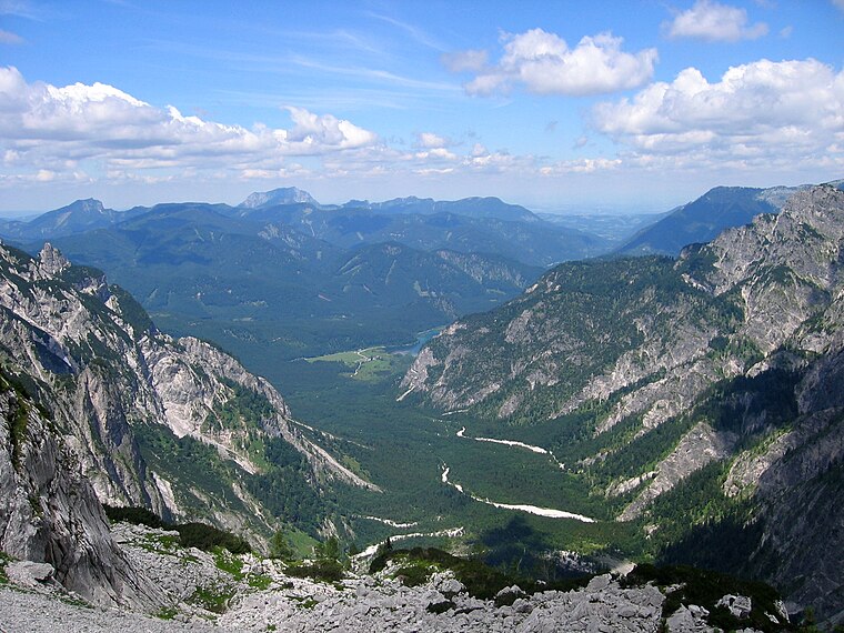
Photo: Tigerente, CC BY-SA 4.0.
In der Röll is a locality, which is situated 4 km southwest of Karlgraben.
Elmgrube
Locality

Photo: Tigerente, CC BY-SA 4.0.
Elmgrube is a locality, which is situated 8 km southwest of Karlgraben.
Karlgraben
- Type: Locality
- Location: Grünau im Almtal, Gmunden District, Upper Austria, Austria, Central Europe, Europe
- View on OpenStreetMap
Latitude
47.73969° or 47° 44′ 23″ northLongitude
14.01353° or 14° 0′ 49″ eastOpen location code
8FVPP2Q7+VCOpenStreetMap ID
way 827288800OpenStreetMap feature
place=locality
This page is based on OpenStreetMap, Wikidata, and Wikimedia Commons.
We’d love your help improving our open data sources. Thank you for contributing.
Satellite Map
Discover Karlgraben from above in high-definition satellite imagery.
Localities in the Area
Explore places such as Alpl and Hintere Hetzau.
Notable Places Nearby
Highlights include Eibenkogel and Pyramidenkogel.
Upper Austria: Must-Visit Destinations
Delve into Linz, Hallstatt, Wels, and Steyr.
Curious Localities to Discover
Uncover intriguing localities from every corner of the globe.
About Mapcarta. Data © OpenStreetMap contributors and available under the Open Database License". Text is available under the CC BY-SA 4.0 license, except for photos, directions, and the map. Photo: Traveler100, CC BY-SA 3.0.