Hochbehälter Selbach
Hochbehälter Selbach is a reservoir in Rastatt, Karlsruhe Region, Baden-Württemberg. Hochbehälter Selbach is situated nearby to the locality Weißer Stein, as well as near Drei Findlinge.| Tap on a place to explore it |
Places of Interest
Highlights include Merkur and Galgenberg, Lieblingsfelsen, Scheibenberg.
Merkur
Scenic viewpoint

Photo: Sitacuisses, CC BY-SA 3.0.
The Merkur or Großer Staufenberg is a mountain, 668.3 m above sea level, in the Northern Black Forest, Baden-Württemberg, Germany. It is the Hausberg of Baden-Baden and located between the spa town and the town of Gernsbach.
Galgenberg, Lieblingsfelsen, Scheibenberg
Nature reserve

Photo: Wikimedia, CC BY-SA 3.0.
Galgenberg, Lieblingsfelsen, Scheibenberg is a nature reserve.
Alt Eberstein
Castle

Photo: A.Savin, CC BY-SA 3.0.
The ruins of Alt-Eberstein are the remains of the former Schloss Eberstein, located on a hill near the town of Ebersteinburg and directly upstream of the modern city of Baden-Baden, in the state of Baden-Württemberg, Germany.
Places in the Area
Nearby places include Baden-Baden and Gaggenau.
Baden-Baden
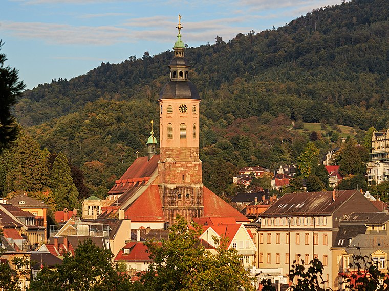
Photo: A.Savin, CC BY-SA 3.0.
Baden-Baden is a spa town built on thermal springs at the edge of the Black Forest in Baden Württemberg, south west Germany. It is one of 11 "Great Spa Towns of Europe", a transcontinental UNESCO world heritage site.
Gaggenau
Town

Photo: Wikimedia, CC BY-SA 3.0.
Gaggenau is a town in the district of Rastatt, in Baden-Württemberg, Germany. It is located some 8 km northeast of Baden-Baden.
Gernsbach
Town

Photo: Wikimedia, CC BY-SA 3.0.
Gernsbach is a town in the district of Rastatt, in Baden-Württemberg, Germany. It is located on the river Murg, 7 km east of Baden-Baden in the Black Forest.
Hochbehälter Selbach
- Type: Reservoir
- Categories: building and body of water
- Location: Rastatt, Karlsruhe Region, Baden-Württemberg, Germany, Central Europe, Europe
- View on OpenStreetMap
Latitude
48.7824° or 48° 46′ 57″ northLongitude
8.3056° or 8° 18′ 20″ eastElevation
252 metres (827 feet)Operator
Wasserversorgungsverbund vorderes MurgtalOpen location code
8FWCQ8J4+W6OpenStreetMap ID
way 834028090OpenStreetMap feature
building=yesOpenStreetMap feature
man_made=reservoir_covered
This page is based on OpenStreetMap, Wikidata, and Wikimedia Commons.
We’d love your help improving our open data sources. Thank you for contributing.
Satellite Map
Discover Hochbehälter Selbach from above in high-definition satellite imagery.
Localities in the Area
Explore places such as Selbach and Weißer Stein.
Notable Places Nearby
Highlights include Sängerbrunnen and Vereinsheim Selbach.
Baden-Württemberg: Must-Visit Destinations
Delve into Stuttgart, Heidelberg, Karlsruhe, and Mannheim.
Curious Reservoirs to Discover
Uncover intriguing reservoirs from every corner of the globe.
About Mapcarta. Data © OpenStreetMap contributors and available under the Open Database License". Text is available under the CC BY-SA 4.0 license, except for photos, directions, and the map. Photo: Traveler100, CC BY-SA 3.0.