Steinbruch Flechtingen
Steinbruch Flechtingen is a quarry in Saxony-Anhalt, Germany. Steinbruch Flechtingen is situated nearby to the nature reserve Holzmühlental, as well as near the meadow Bisdorfwiesen.| Tap on a place to explore it |
Places of Interest Nearby
Highlights include Schlossmühle and Porphyry sails.
Schlossmühle
Watermill

Photo: Olaf2, CC BY-SA 3.0.
Schlossmühle is a watermill, which is situated 2½ km northeast of Steinbruch Flechtingen.
Porphyry sails
Work of art

Photo: Gerd Fahrenhorst, CC BY 4.0.
Porphyry sails is a work of art, which is situated 3 km northeast of Steinbruch Flechtingen.
Places in the Area
Nearby places include Ivenrode and Seggerde.
Ivenrode
Village
Ivenrode is a village and a former municipality in the Börde district in Saxony-Anhalt, Germany. Since 1 January 2010, it is part of the municipality Altenhausen. Ivenrode is situated 5 km south of Steinbruch Flechtingen.
Seggerde
Village
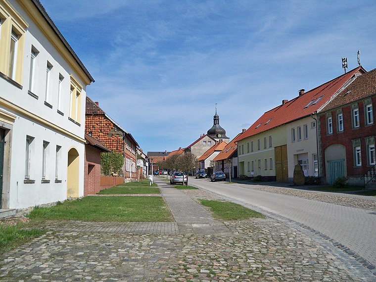
Photo: Vanellus Foto, CC BY-SA 3.0.
Seggerde is a village and a former municipality in the Börde district in Saxony-Anhalt, Germany. Since 1 January 2010, it is part of the town Oebisfelde-Weferlingen. Seggerde is situated 9 km west of Steinbruch Flechtingen.
Everingen
Village
Everingen is a village and a former municipality in the Börde district in Saxony-Anhalt, Germany. Since 1 September 2010, it is part of the town Oebisfelde-Weferlingen. Everingen is situated 10 km northwest of Steinbruch Flechtingen.
Steinbruch Flechtingen
- Type: Quarry
- Category: industry
- Location: Saxony-Anhalt, Germany, Central Europe, Europe
- View on OpenStreetMap
Latitude
52.31559° or 52° 18′ 56″ northLongitude
11.20862° or 11° 12′ 31″ eastOperator
NNG Norddeutsche Naturstein GmbHOpen location code
9F4H8685+6COpenStreetMap ID
way 835584947OpenStreetMap feature
landuse=quarry
This page is based on OpenStreetMap, Wikidata, and Wikimedia Commons.
We’d love your help improving our open data sources. Thank you for contributing.
Satellite Map
Discover Steinbruch Flechtingen from above in high-definition satellite imagery.
Notable Places Nearby
Highlights include Aussichtsplattform Steinbruch Flechtingen and Holzmühlental.
Nearby Places
Explore places such as Holzmühlenteich and Naturdenkmal Felsformation ‘Kahler Stein’.
Saxony-Anhalt: Must-Visit Destinations
Delve into Magdeburg, Halle, Wittenberg, and Quedlinburg.
Curious Quarries to Discover
Uncover intriguing quarries from every corner of the globe.
About Mapcarta. Data © OpenStreetMap contributors and available under the Open Database License". Text is available under the CC BY-SA 4.0 license, except for photos, directions, and the map. Photo: GMM, Public domain.