Centro Municipal de Educación Vial
Centro Municipal de Educación Vial is a school in Las Palmas, Gran Canaria which is located on Calle Córdoba. Centro Municipal de Educación Vial is situated nearby to the garden Plazoleta Upsala, as well as near the square Plazoleta Upsalo.| Tap on a place to explore it |
Places of Interest Nearby
Highlights include Batería de San Juan and Church of San José, Las Palmas de Gran Canaria.
Batería de San Juan
Fort

Photo: Bengt Nyman, CC BY 2.0.
Batería de San Juan is a fort, which is situated 520 metres west of Centro Municipal de Educación Vial.
Church of San José, Las Palmas de Gran Canaria
Church

Photo: AndreaGlez, CC BY-SA 3.0 es.
Church of San José, Las Palmas de Gran Canaria is situated 430 metres north of Centro Municipal de Educación Vial.
Las Palmas Cathedral
Church

Photo: Sailko, CC BY-SA 3.0.
The Cathedral of Santa Ana is a Roman Catholic church located in Las Palmas, Canary Islands. The cathedral is the see of the Roman Catholic Diocese of Canarias. Las Palmas Cathedral is situated 1 km north of Centro Municipal de Educación Vial.
Places in the Area
Nearby places include Vegueta and Triana.

La Feria del Atlántico
Suburb
 La Feria del Atlántico is a suburb, which is situated 3½ km northwest of Centro Municipal de Educación Vial.
Centro Municipal de Educación Vial
- Type: School
- Address: Calle Córdoba, 35016
- Category: education
- Location: Las Palmas, Las Palmas, Gran Canaria, Canary Islands, Spain, Iberia, Europe
- View on OpenStreetMap
Latitude
28.09107° or 28° 5′ 28″ northLongitude
-15.41724° or 15° 25′ 2″ westOpen location code
7CW63HRM+C4OpenStreetMap ID
way 837402095OpenStreetMap feature
amenity=school
This page is based on OpenStreetMap, Wikidata, and Wikimedia Commons.
We’d love your help improving our open data sources. Thank you for contributing.
Satellite Map
Discover Centro Municipal de Educación Vial from above in high-definition satellite imagery.
Notable Places Nearby
Highlights include Plazoleta Upsala and Plazoleta Upsalo.
Nearby Places
Explore places such as Instituto de Educación Secundaria San Cristobal and Córdoba, 29.
Gran Canaria: Must-Visit Destinations
Delve into Telde, Ingenio, Maspalomas, and Playa del Inglés.
Curious Schools to Discover
Uncover intriguing schools from every corner of the globe.
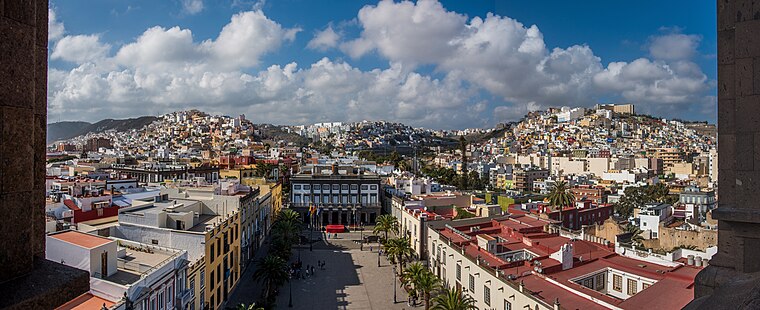
About Mapcarta. Data © OpenStreetMap contributors and available under the Open Database License". Text is available under the CC BY-SA 4.0 license, except for photos, directions, and the map. Photo: Gino maccanti, CC BY 2.0.