Paplaujos tiltas
Paplaujos tiltas is a bridge in Senamiesčio sen., Vilnius. Paplaujos tiltas is situated nearby to Church of St. Bartholomew, Vilnius, as well as near Constitution of the Republic of Užupis.| Tap on a place to explore it |
Places of Interest Nearby
Highlights include Church of St. Bartholomew, Vilnius and St. Anne’s Church.
Church of St. Bartholomew, Vilnius
Church

Photo: Wojsyl, CC BY-SA 3.0.
Church of St. Bartholomew is a Roman Catholic church in Užupis, Vilnius which was built in 1824. It is the only church in Vilnius where the masses are held in the Belarusian language. Church of St. Bartholomew, Vilnius is situated 110 metres north of Paplaujos tiltas.
St. Anne’s Church
Church

Photo: Diliff, CC BY-SA 3.0.
St. Anne's Church is a Roman Catholic church in Vilnius' Old Town, on the right bank of the Vilnia river established circa 1495–1500. It is a prominent example of both Flamboyant and Brick Gothic styles. St. Anne’s Church is situated 510 metres northwest of Paplaujos tiltas.
Cathedral of the Theotokos
Church

Photo: BigHead, CC BY-SA 4.0.
The Cathedral of the Theotokos in Vilnius is the episcopal see of the Russian Orthodox Diocese of Lithuania. Between 1415 and 1795, it was the mother church of the Ruthenian Orthodox Church and the Ruthenian Uniate Church within the Grand Duchy of Lithuania and then the Polish–Lithuanian Commonwealth. Cathedral of the Theotokos is situated 410 metres northwest of Paplaujos tiltas.
Places in the Area
Nearby places include Užupis and Paupys.
Užupis
Quarter
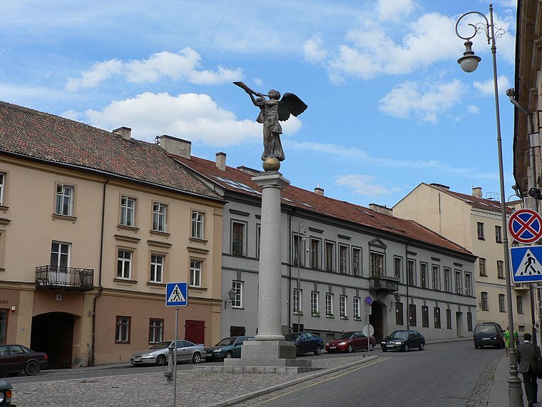
Photo: Wojsyl, CC BY-SA 3.0.
Užupis is a neighborhood in Vilnius, the capital of Lithuania, largely located in Vilnius's old town, a UNESCO World Heritage Site. Užupis means "beyond the river" or "the other side of the river" in the Lithuanian language and refers to the Vilnia River; the name Vilnius was derived from the Vilnia.

Vilnius Old Town
Suburb

Photo: BigHead, CC BY-SA 4.0.
The Old Town of Vilnius, one of the largest surviving medieval old towns in Northern Europe, as inscribed within UNESCO World Heritage Sites, has an area of 3.59 square kilometres.
Paplaujos tiltas
- Type: Bridge
- Category: transportation
- Location: Senamiesčio sen., Vilnius, Vilnius County, Dzūkija, Lithuania, Baltic states, Europe
- View on OpenStreetMap
Latitude
54.67933° or 54° 40′ 46″ northLongitude
25.29788° or 25° 17′ 52″ eastOpen location code
9G67M7HX+P5OpenStreetMap ID
way 838000738OpenStreetMap feature
man_made=bridge
This page is based on OpenStreetMap, Wikidata, and Wikimedia Commons.
We’d love your help improving our open data sources. Thank you for contributing.
Satellite Map
Discover Paplaujos tiltas from above in high-definition satellite imagery.
Notable Places Nearby
Highlights include Constitution of the Republic of Užupis and Menų tiltas.
Nearby Places
Explore places such as Paupio 12 and Firenze.
Dzūkija: Must-Visit Destinations
Delve into Alytus, Trakai, Druskininkai, and Daugai.
Curious Bridges to Discover
Uncover intriguing bridges from every corner of the globe.
About Mapcarta. Data © OpenStreetMap contributors and available under the Open Database License". Text is available under the CC BY-SA 4.0 license, except for photos, directions, and the map. Photo: Pudelek, CC BY-SA 3.0.