Feuerwehr Einste/Holtum-Marsch
Feuerwehr Einste/Holtum-Marsch is a fire station in Blender, Verden, Lower Saxony which is located on Einster Hauptstraße. Feuerwehr Einste/Holtum-Marsch is situated nearby to the nature reserve Blender See, as well as near the village Martfeld.| Tap on a place to explore it |
Places of Interest Nearby
Highlights include Blender See and Kirche zu Blender.
Kirche zu Blender
Church
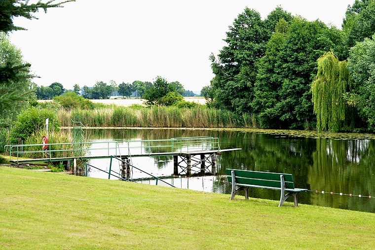
 Kirche zu Blender is a church, which is situated 2 km northeast of Feuerwehr Einste/Holtum-Marsch.
Church in Oiste
Church

Photo: ClausNe, CC BY-SA 4.0.
Church in Oiste is situated 3 km east of Feuerwehr Einste/Holtum-Marsch.
Places in the Area
Nearby places include Martfeld and Magelsen.
Martfeld
Village

Photo: Corradox, CC BY-SA 3.0.
Martfeld is a municipality in the district of Diepholz, in Lower Saxony, Germany. It is part of the Bruchhausen-Vilsen Collective Municipality. Martfeld is situated 6 km southwest of Feuerwehr Einste/Holtum-Marsch.
Magelsen
Village

Photo: JoachimKohler-HB, CC BY-SA 4.0.
Magelsen is a village, which is situated 6 km southeast of Feuerwehr Einste/Holtum-Marsch.
Schwarme
Village

Photo: Barghaan, CC BY-SA 3.0.
Schwarme is a municipality in the district of Diepholz, in Lower Saxony, Germany. The municipality Schwarme is located in the Mittelweserregion around 30 km south of Bremen. The towns Achim, Verden and Bruchhausen-Vilsen are about 15 km from Schwarme. Schwarme is situated 6 km west of Feuerwehr Einste/Holtum-Marsch.
Feuerwehr Einste/Holtum-Marsch
- Type: Fire station
- Address: Einster Hauptstraße 15A, Blender, 27337
- Location: Blender, Verden, Lower Saxony, Germany, Central Europe, Europe
- View on OpenStreetMap
Latitude
52.91822° or 52° 55′ 6″ northLongitude
9.10956° or 9° 6′ 34″ eastOperator
Freiwillige Feuerwehr der Samtgemeinde ThedinghausenOpen location code
9F4FW495+7ROpenStreetMap ID
way 838948815OpenStreetMap feature
amenity=fire_station
This page is based on OpenStreetMap, Wikidata, and Wikimedia Commons.
We’d love your help improving our open data sources. Thank you for contributing.
Satellite Map
Discover Feuerwehr Einste/Holtum-Marsch from above in high-definition satellite imagery.
Notable Places Nearby
Highlights include Feuerwehr Blender and Schulsporthalle Blender.
Nearby Places
Explore places such as Wrede and Reisedienst Wrede.
Lower Saxony: Must-Visit Destinations
Delve into Hanover, Göttingen, Brunswick, and Wolfsburg.
Curious Fire Stations to Discover
Uncover intriguing fire stations from every corner of the globe.
About Mapcarta. Data © OpenStreetMap contributors and available under the Open Database License". Text is available under the CC BY-SA 4.0 license, except for photos, directions, and the map. Photo: Danapit, CC BY-SA 3.0.