Halterner Straßen-Brücke
Halterner Straßen-Brücke is a bridge in Haltern am See, Recklinghausen, North Rhine-Westphalia. Halterner Straßen-Brücke is situated nearby to the public building Bürgerhaus, as well as near the village Hamm-Bossendorf.| Tap on a place to explore it |
Places of Interest Nearby
Highlights include Katharinen-Kapelle and Haltern am See station.
Katharinen-Kapelle
Church

Photo: JosefLehmkuhl, Public domain.
Katharinen-Kapelle is a church, which is situated 210 metres east of Halterner Straßen-Brücke.
Haltern am See station
Railway station
 Haltern am See station is a station in the town of Haltern am See in the German state of North Rhine-Westphalia on Wanne-Eickel–Hamburg railway from Wanne-Eickel to Hamburg. Haltern am See station is situated 1 km north of Halterner Straßen-Brücke.
Westfälisches Römermuseum Haltern
Museum
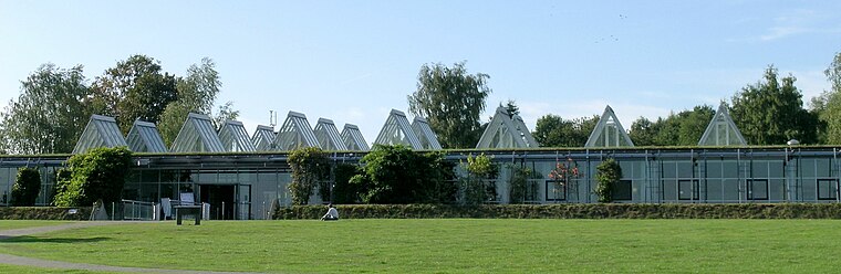
Photo: JosefLehmkuhl, Public domain.
Westfälisches Römermuseum Haltern is situated 1½ km northwest of Halterner Straßen-Brücke.
Places in the Area
Nearby places include Hamm-Bossendorf and Pilgrimage area of Annaberg (Haltern am See).

Pilgrimage area of Annaberg (Haltern am See)
Locality

Photo: Wikimedia, CC BY-SA 4.0.
Pilgrimage area of Annaberg (Haltern am See) is a locality.
Flaesheim
Village

Photo: JosefLehmkuhl, Public domain.
Flaesheim is a village, which is situated 3½ km east of Halterner Straßen-Brücke.
Halterner Straßen-Brücke
- Type: Bridge
- Category: transportation
- Location: Haltern am See, Recklinghausen, Münster, Münsterland, North Rhine-Westphalia, Germany, Central Europe, Europe
- View on OpenStreetMap
Latitude
51.72901° or 51° 43′ 44″ northLongitude
7.18616° or 7° 11′ 10″ eastOpen location code
9F39P5HP+JFOpenStreetMap ID
way 839521212OpenStreetMap feature
man_made=bridge
This page is based on OpenStreetMap, Wikidata, and Wikimedia Commons.
We’d love your help improving our open data sources. Thank you for contributing.
Satellite Map
Discover Halterner Straßen-Brücke from above in high-definition satellite imagery.
Notable Places Nearby
Highlights include Bürgerhaus and Kath. Friedhof Bossendorf.
Nearby Places
Explore places such as Senfkorn and Kanalbrücke.
Münsterland: Must-Visit Destinations
Delve into Münster, Bocholt, Dülmen, and Rheine.
Curious Bridges to Discover
Uncover intriguing bridges from every corner of the globe.
About Mapcarta. Data © OpenStreetMap contributors and available under the Open Database License". Text is available under the CC BY-SA 4.0 license, except for photos, directions, and the map. Photo: Wikimedia, CC0.