Gestüt Eichenhain GmbH
Gestüt Eichenhain GmbH is in Blender, Verden, Lower Saxony, and is located on Hinnersweg. Gestüt Eichenhain GmbH is situated nearby to Church in Oiste, as well as near the cemetery Friedhof Oiste.| Tap on a place to explore it |
Places of Interest Nearby
Highlights include Church in Oiste and Blender See.
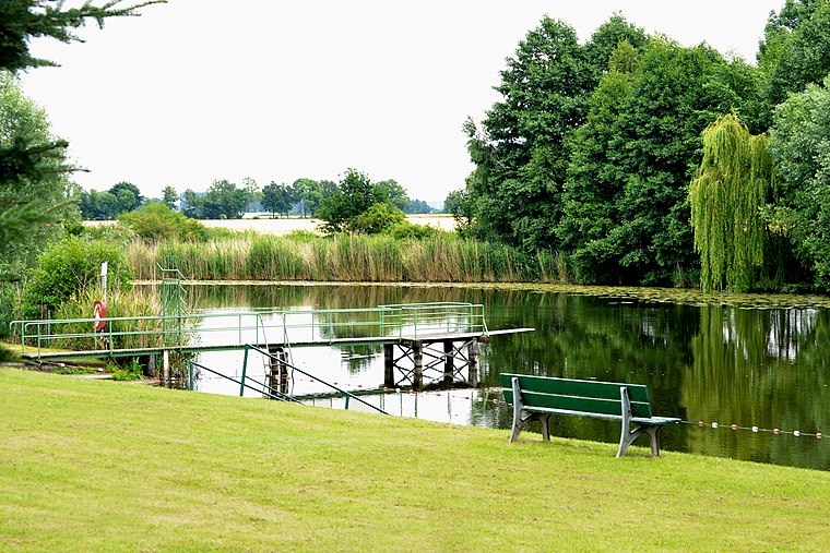
Church in Oiste
Church

Photo: ClausNe, CC BY-SA 4.0.
Church in Oiste is situated 660 metres southeast of Gestüt Eichenhain GmbH.
Kirche zu Blender
Church
 Kirche zu Blender is a church, which is situated 1½ km northwest of Gestüt Eichenhain GmbH.
Places in the Area
Nearby places include Magelsen and Verden an der Aller.
Magelsen
Village

Photo: JoachimKohler-HB, CC BY-SA 4.0.
Magelsen is a village, which is situated 5 km south of Gestüt Eichenhain GmbH.
Verden an der Aller

Photo: Traveler100, CC BY-SA 3.0.
Verden an der Aller, also called Verden or simply Verden, is a town in Lower Saxony, Germany, on the river Aller. It is the district town of the district of Verden in Lower Saxony and an independent municipality.
Daverden
Suburb

Photo: Dirk Godlinski, CC BY-SA 3.0.
Daverden is a suburb, which is situated 7 km north of Gestüt Eichenhain GmbH.
Gestüt Eichenhain GmbH
- Type: Commerce
- Address: Hinnersweg 1, Blender, 27337
- Location: Blender, Verden, Lower Saxony, Germany, Central Europe, Europe
- View on OpenStreetMap
Latitude
52.91743° or 52° 55′ 3″ northLongitude
9.14944° or 9° 8′ 58″ eastOpen location code
9F4FW48X+XQOpenStreetMap ID
way 841135388OpenStreetMap feature
landuse=commercial
This page is based on OpenStreetMap, Wikidata, and Wikimedia Commons.
We’d love your help improving our open data sources. Thank you for contributing.
Satellite Map
Discover Gestüt Eichenhain GmbH from above in high-definition satellite imagery.
Notable Places Nearby
Highlights include Friedhof Oiste and Glockenkuhle.
Nearby Places
Explore places such as Varste and Das Mühlenschiff.
Lower Saxony: Must-Visit Destinations
Delve into Hanover, Göttingen, Brunswick, and Wolfsburg.
Curious Places to Discover
Uncover intriguing places from every corner of the globe.
About Mapcarta. Data © OpenStreetMap contributors and available under the Open Database License". Text is available under the CC BY-SA 4.0 license, except for photos, directions, and the map. Photo: Danapit, CC BY-SA 3.0.