centre ocupacional Isla
centre ocupacional Isla is a social service facility in Palma de Mallorca, Balearic Islands, Balearic Islands. centre ocupacional Isla is situated nearby to Plaça de Cosme Adrover, as well as near the school IES Josep Sureda i Blanes.| Tap on a place to explore it |
Places of Interest Nearby
Highlights include Son Costa/Son Fortesa station and Can Blau.
Son Costa/Son Fortesa station
Railway station
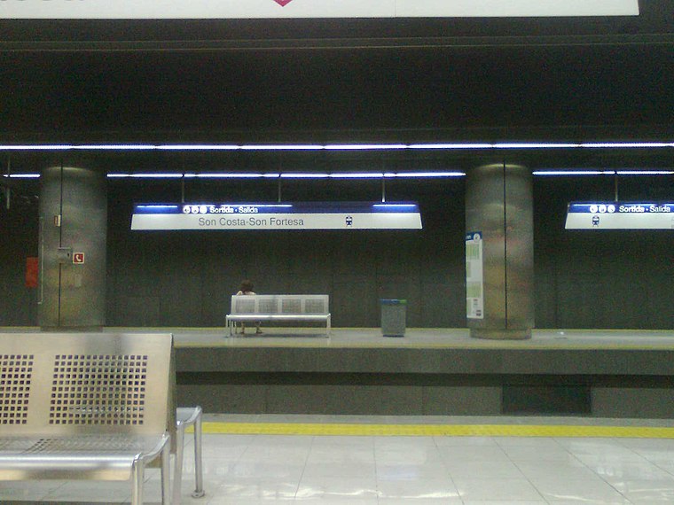
Photo: Josep Arias i López, CC BY-SA 3.0.
Son Costa / Son Fortesa is an underground station of Serveis Ferroviaris de Mallorca and Palma Metro in Palma on the island of Majorca, Spain. The station is located at the northeasterly end of Miguel Fleta Street. Son Costa/Son Fortesa station is situated 1¼ km northwest of centre ocupacional Isla.
Can Blau
Restaurant

Photo: Joan Gené, CC BY-SA 4.0.
Can Blau is a restaurant, which is situated 550 metres south of centre ocupacional Isla.
Església de la Soledat
Church

Photo: Joan Gené, CC BY-SA 4.0.
Església de la Soledat is a church, which is situated 730 metres south of centre ocupacional Isla.
Places in the Area
Nearby places include Son Gotleu and La Soledat.


centre ocupacional Isla
- Type: Social service facility
- Location: Palma de Mallorca, Balearic Islands, Mallorca, Balearic Islands, Spain, Iberia, Europe
- View on OpenStreetMap
Latitude
39.57618° or 39° 34′ 34″ northLongitude
2.67552° or 2° 40′ 32″ eastOpen location code
8FF4HMGG+F6OpenStreetMap ID
way 841271621OpenStreetMap feature
amenity=social_facility
This page is based on OpenStreetMap, Wikidata, and Wikimedia Commons.
We’d love your help improving our open data sources. Thank you for contributing.
Satellite Map
Discover centre ocupacional Isla from above in high-definition satellite imagery.
Notable Places Nearby
Highlights include Plaça de Cosme Adrover and IES Josep Sureda i Blanes.
Nearby Places
Explore places such as Centre Concertat d’Educació Especial Mater Misericordiae and Tomas Rul·lan - Gabriel Carbonell.
Mallorca: Must-Visit Destinations
Delve into Alcúdia, Calvià, Deia, and Alaró.
Curious Social Service Facilities to Discover
Uncover intriguing social service facilities from every corner of the globe.
About Mapcarta. Data © OpenStreetMap contributors and available under the Open Database License". Text is available under the CC BY-SA 4.0 license, except for photos, directions, and the map. Photo: Sebastian Leitz, Public domain.