Encosta das Figuras 4
Encosta das Figuras 4 is a building in Faro (Sé e São Pedro), Faro. Encosta das Figuras 4 is situated nearby to the park Parque da Rua da Guiné-Bissau, as well as near the health club Gym Féminis Fit.| Tap on a place to explore it |
Places of Interest Nearby
Highlights include Teatro das Figuras and Casa das Figuras.
Teatro das Figuras
Theater building

Photo: PauloMoreira, Public domain.
Teatro das Figuras is a theater building, which is situated 370 metres southwest of Encosta das Figuras 4.
Casa das Figuras
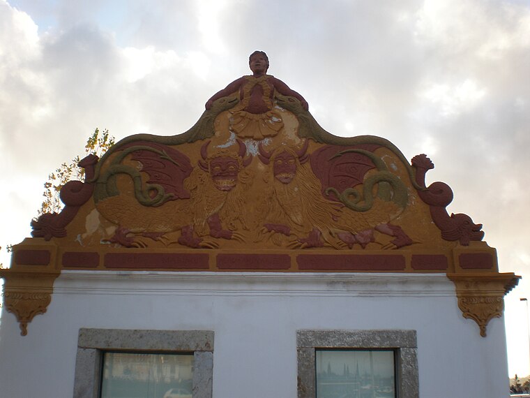
Photo: PauloMoreira, Public domain.
Casa das Figuras is situated 400 metres west of Encosta das Figuras 4.
Faro railway station
Railway station

Photo: Ajpvalente, CC BY 3.0.
Faro station is the main railway station in the city of Faro, Portugal, operated by Comboios de Portugal. It opened on 1 July 1889. The line to the north-west is electrified, using overhead catenary. Faro railway station is situated 1 km south of Encosta das Figuras 4.
Places in the Area
Nearby places include Pechão and Santa Bárbara de Nexe.
Pechão
Village

Photo: Pedro S Bello, CC BY-SA 4.0.
Pechão is a Portuguese parish in the municipality of Olhão. The population in 2011 was 3,601, in an area of 19.79 km². Pechão is situated 7 km northeast of Encosta das Figuras 4.
Santa Bárbara de Nexe
Village
Santa Bárbara de Nexe is a village and civil parish in the Portuguese municipality of Faro on the southern Algarve region. The population in 2011 was 4,116, in an area of 38.22 km². It is located a few kilometers from both the cities of Loulé and Faro. Santa Bárbara de Nexe is situated 9 km north of Encosta das Figuras 4.
Olhão

Photo: Creative Commons, CC BY-SA 4.0.
Olhão is a fishing port in the Algarve. Olhão is a major port and the largest fishing port in the Algarve. It is full of character with Moorish-style houses, an influence from the commercial links with Africa.
Encosta das Figuras 4
- Type: Building
- Location: Faro (Sé e São Pedro), Faro, Faro District, Algarve, Portugal, Iberia, Europe
- View on OpenStreetMap
Latitude
37.02647° or 37° 1′ 35″ northLongitude
-7.94081° or 7° 56′ 27″ westOpen location code
8C9J23G5+HMOpenStreetMap ID
way 842164974OpenStreetMap feature
building=yes
This page is based on OpenStreetMap, Wikidata, and Wikimedia Commons.
We’d love your help improving our open data sources. Thank you for contributing.
Satellite Map
Discover Encosta das Figuras 4 from above in high-definition satellite imagery.
Notable Places Nearby
Highlights include Parque da Rua da Guiné-Bissau and Gym Féminis Fit.
Nearby Places
Explore places such as Encosta das Figuras 3 and Encosta das Figuras 5.
Algarve: Must-Visit Destinations
Delve into Portimão, Lagos, Tavira, and Albufeira.
Curious Buildings to Discover
Uncover intriguing buildings from every corner of the globe.
About Mapcarta. Data © OpenStreetMap contributors and available under the Open Database License". Text is available under the CC BY-SA 4.0 license, except for photos, directions, and the map. Photo: Inkey, CC BY-SA 2.0.