Turnhalle Elm
Turnhalle Elm is a sports venue in Schwalbach, Saarlouis, Saarland. Turnhalle Elm is situated nearby to the sports venue Turn- und Festhalle Elm, as well as near the library Haus Der Begegnung.| Tap on a place to explore it |
Places of Interest Nearby
Highlights include St. Josef and St. Martin (Schwalbach (Saar)).
St. Josef
Church

Photo: Mstp77, CC BY-SA 3.0.
St. Josef is a church, which is situated 140 metres southeast of Turnhalle Elm.
St. Martin (Schwalbach (Saar))
Church
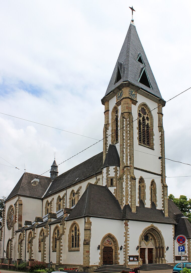
Photo: Mstp77, CC BY-SA 3.0.
St. Martin (Schwalbach (Saar)) is a church, which is situated 2 km northwest of Turnhalle Elm.
Church of the Assumption of Mary
Church

Photo: LoKiLeCh, CC BY-SA 4.0.
Church of the Assumption of Mary is situated 2 km northeast of Turnhalle Elm.
Places in the Area
Nearby places include Elm and Schwalbach.

Schwalbach
Village
Photo: Mstp77, CC BY-SA 3.0.
Schwalbach is a municipality in the district of Saarlouis, in Saarland, Germany. It is situated approximately 5 km east of Saarlouis, and 15 km northwest of Saarbrücken.

Turnhalle Elm
- Type: Sports venue
- Categories: recreation area and sports location
- Location: Schwalbach, Saarlouis, Saarland, Germany, Central Europe, Europe
- View on OpenStreetMap
Latitude
49.2921° or 49° 17′ 32″ northLongitude
6.83723° or 6° 50′ 14″ eastOpen location code
8FX87RRP+RVOpenStreetMap ID
way 84472055OpenStreetMap feature
leisure=sports_centre
This page is based on OpenStreetMap, Wikidata, and Wikimedia Commons.
We’d love your help improving our open data sources. Thank you for contributing.
Satellite Map
Discover Turnhalle Elm from above in high-definition satellite imagery.
Notable Places Nearby
Highlights include Turn- und Festhalle Elm and Haus Der Begegnung.
Nearby Places
Explore places such as Bene Vit Seniorenheim and Kreissparkasse Saarlouis.
Saarland: Must-Visit Destinations
Delve into Saarbrücken, Saarlouis, Homburg, and Merzig.
Curious Sports Venues to Discover
Uncover intriguing sports venues from every corner of the globe.
About Mapcarta. Data © OpenStreetMap contributors and available under the Open Database License". Text is available under the CC BY-SA 4.0 license, except for photos, directions, and the map. Photo: wolfgangstaudt, CC BY 2.0.