plac Franciszka Mireckiego
plac Franciszka Mireckiego is a square in Szczecin, Zachodniopomorskie. plac Franciszka Mireckiego is situated nearby to the church Kościół pw. Nawiedzenia Najświętszej Maryi Panny, as well as near the suburb Dąbie.| Tap on a place to explore it |
Places of Interest Nearby
Highlights include Szczecin Dąbie railway station and Immaculate Conception church in Szczecin Dąbie.
Szczecin Dąbie railway station
Railway station

Photo: Dzoker, CC BY-SA 2.5 pl.
Szczecin Dąbie is a railway station in the city of Szczecin, West Pomeranian, Poland. The train services are operated by PKP and Przewozy Regionalne. Szczecin Dąbie railway station is situated 2 km southwest of plac Franciszka Mireckiego.
Immaculate Conception church in Szczecin Dąbie
Church
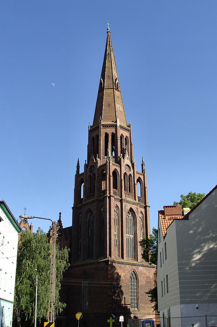
Photo: Kapitel, Public domain.
Immaculate Conception church in Szczecin Dąbie is situated 2 km southwest of plac Franciszka Mireckiego.
Sanktuarium Matki Bożej Fatimskiej w Szczecinie
Church
 Sanktuarium Matki Bożej Fatimskiej w Szczecinie is a church, which is situated 3½ km southwest of plac Franciszka Mireckiego.
Places in the Area
Nearby places include Dąbie and Trzebusz.
Dąbie
Suburb
Photo: Kapitel, Public domain.
Dąbie is a former town and current municipal neighbourhood of the city of Szczecin in Poland, situated on the Płonia river, on the south coast of Dąbie Lake, on the right bank of Oder river, east of the Szczecin Old Town and Middle Town.
Trzebusz
Neighborhood
Trzebusz is a part of the Szczecin City, Poland situated on the right bank of Oder river, east of the Szczecin Old Town, and Szczecin-Dąbie.
Trzebuskie Łęgi
Hamlet

Photo: Bartek93Goleniów2, CC0.
Trzebuskie Łęgi is a village in the administrative district of Gmina Goleniów, within Goleniów County, West Pomeranian Voivodeship, in north-western Poland. For the history of the region, see History of Pomerania. Trzebuskie Łęgi is situated 4 km northeast of plac Franciszka Mireckiego.
plac Franciszka Mireckiego
- Type: Square
- Also known as: “plac imienia Franciszka Mireckiego”
- Category: locality
- Location: Szczecin, Zachodniopomorskie, Poland, Central Europe, Europe
- View on OpenStreetMap
Latitude
53.40852° or 53° 24′ 31″ northLongitude
14.68764° or 14° 41′ 16″ eastOpen location code
9F5PCM5Q+C3OpenStreetMap ID
way 846564596OpenStreetMap feature
place=square
This page is based on OpenStreetMap, Wikidata, and Wikimedia Commons.
We’d love your help improving our open data sources. Thank you for contributing.
Satellite Map
Discover plac Franciszka Mireckiego from above in high-definition satellite imagery.
Notable Places Nearby
Highlights include Kościół pw. Nawiedzenia Najświętszej Maryi Panny and Cmentarz Dąbie.
Nearby Places
Explore places such as Rodzinny Ogród Działkowy ‘Bielik’ and Rodzinny Ogród Działkowy ‘Nowe Osiedle’.
Zachodniopomorskie: Must-Visit Destinations
Delve into Świnoujście, Koszalin, Kołobrzeg, and Police.
Curious Squares to Discover
Uncover intriguing squares from every corner of the globe.
About Mapcarta. Data © OpenStreetMap contributors and available under the Open Database License". Text is available under the CC BY-SA 4.0 license, except for photos, directions, and the map. Photo: Sicherlich, CC BY 3.0.