Vennheider Brücke
Vennheider Brücke is a bridge in Marl, Recklinghausen, North Rhine-Westphalia. Vennheider Brücke is situated nearby to the shingle beach Brache, as well as near the meadow Bonenkamp.| Tap on a place to explore it |
Places of Interest Nearby
Highlights include Haus Ostendorf and Braucksenke.
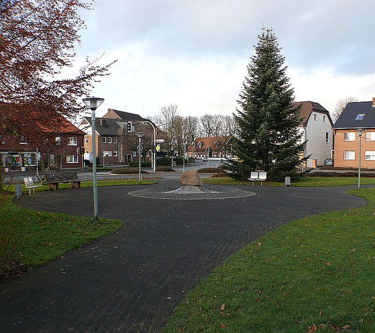
Haus Ostendorf
Castle

Photo: Threedots, CC BY-SA 3.0.
Haus Ostendorf is a castle, which is situated 1 km northwest of Vennheider Brücke.

Holy Cross Church
Church

Photo: Chris06, CC BY-SA 4.0.
Holy Cross Church is situated 3 km northeast of Vennheider Brücke.
Places in the Area
Nearby places include Lippramsdorf and Pilgrimage area of Annaberg (Haltern am See).
Pilgrimage area of Annaberg (Haltern am See)
Locality

Photo: Wikimedia, CC BY-SA 4.0.
Pilgrimage area of Annaberg (Haltern am See) is a locality, which is situated 3 km northeast of Vennheider Brücke.
Hamm-Bossendorf
Village

Photo: JosefLehmkuhl, Public domain.
Hamm-Bossendorf is a village, which is situated 4½ km northeast of Vennheider Brücke.
Vennheider Brücke
- Type: Bridge
- Category: transportation
- Location: Marl, Recklinghausen, Münster, North Rhine-Westphalia, Germany, Central Europe, Europe
- View on OpenStreetMap
Latitude
51.7077° or 51° 42′ 28″ northLongitude
7.12764° or 7° 7′ 40″ eastOpen location code
9F39P45H+33OpenStreetMap ID
way 847342275OpenStreetMap feature
man_made=bridge
This page is based on OpenStreetMap, Wikidata, and Wikimedia Commons.
We’d love your help improving our open data sources. Thank you for contributing.
Satellite Map
Discover Vennheider Brücke from above in high-definition satellite imagery.
Notable Places Nearby
Highlights include Brache and Bonenkamp.
Nearby Places
Explore places such as Milsenkamp and Treidelkamp.
North Rhine-Westphalia: Must-Visit Destinations
Delve into Cologne, Düsseldorf, Bonn, and Dortmund.
Curious Bridges to Discover
Uncover intriguing bridges from every corner of the globe.
About Mapcarta. Data © OpenStreetMap contributors and available under the Open Database License". Text is available under the CC BY-SA 4.0 license, except for photos, directions, and the map. Photo: Daniel Schwen, CC BY-SA 2.5.