Platform House
Platform House is a building in City of Eden Prairie, Hennepin, Minnesota. Platform House is situated nearby to the railway station City West, as well as near the government office Comcast.| Tap on a place to explore it |
Places in the Area
Nearby places include Hopkins and Edina.
Hopkins
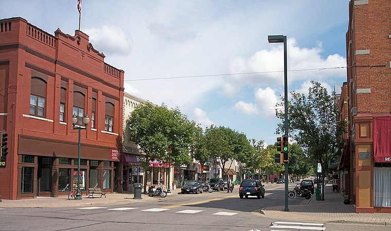
Photo: Malepheasant, CC BY-SA 2.5.
Hopkins is a suburban city in Hennepin County, Minnesota, United States, located west of Minneapolis. The population was 19,079 at the 2020 census. The city is four square miles in size and is surrounded by the larger suburban communities of Minnetonka, Saint Louis Park, and Edina.
Edina
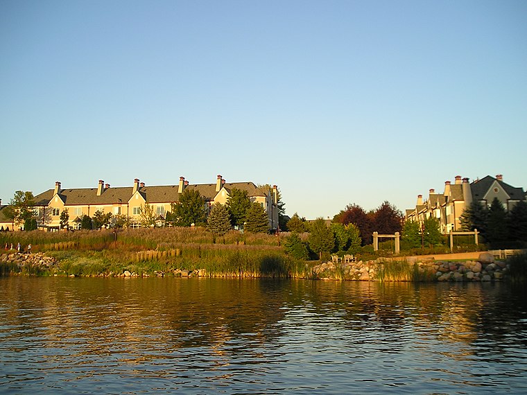
Photo: Andrew Balfour, CC BY 3.0.
Edina is a city in Hennepin County, Minnesota, United States and a first-ring suburb of Minneapolis. The population was 53,494 at the 2020 census, making it the 18th most populous city in Minnesota.
Eden Prairie

Photo: Appraiser, Public domain.
Eden Prairie is a city in Hennepin County, Minnesota, United States. It had a population of 64,198 at the 2020 census, making it the 16th-largest city in Minnesota.
Platform House
- Type: Building
- Location: City of Eden Prairie, Hennepin, Minnesota, Midwest, United States, North America
- View on OpenStreetMap
Latitude
44.8898° or 44° 53′ 23″ northLongitude
-93.41011° or 93° 24′ 36″ westOpen location code
86P8VHQQ+WXOpenStreetMap ID
way 849302752OpenStreetMap feature
building=yes
This page is based on OpenStreetMap, Wikidata, and Wikimedia Commons.
We’d love your help improving our open data sources. Thank you for contributing.
Satellite Map
Discover Platform House from above in high-definition satellite imagery.
Places with the Same Name
Discover other places named “Platform House”.
Notable Places Nearby
Highlights include City West and Comcast.
Nearby Places
Explore places such as Traction Power Substation and Blue Circle Dr.
Minnesota: Must-Visit Destinations
Delve into Minneapolis, Saint Paul, Duluth, and Rochester.
Curious Buildings to Discover
Uncover intriguing buildings from every corner of the globe.
About Mapcarta. Data © OpenStreetMap contributors and available under the Open Database License". Text is available under the CC BY-SA 4.0 license, except for photos, directions, and the map. Photo: Wikimedia, CC0.