Lyngbygård Vandværk
Lyngbygård Vandværk is a building in Aarhus Municipality, Central Jutland. Lyngbygård Vandværk is situated nearby to the golf course Lyngbygård Golf, as well as near the archaeological site Trehøje.| Tap on a place to explore it |
Places of Interest Nearby
Highlights include Stenhøj and Lyngbygård.
Stenhøj
Archaeological site

Photo: Villy Fink Isaksen, CC BY-SA 3.0.
Stenhøj is an archaeological site, which is situated 770 metres north of Lyngbygård Vandværk.
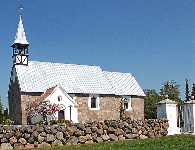
Lyngbygård
Manor estate

Photo: Nico-dk, CC BY-SA 3.0.
Lyngbygård is a manor house and a listed building in Aarhus Municipality, Denmark. The estate is 225 hectares of land situated by Lyngbygård River, 4 km. west of Tilst in Aarhus. Lyngbygård is situated 1¼ km southwest of Lyngbygård Vandværk.
Places in the Area
Nearby places include Borum and Mundelstrup.
Borum
Village

Photo: Erik Christensen, CC BY-SA 4.0.
Borum is a village in Aarhus Municipality, Central Denmark Region in Denmark. Borum is situated 2.5 kilometres south of Sabro and 3 kilometres west of the Aarhus suburb of Tilst and has a population of 314.
Mundelstrup
Village

Photo: Villy Fink Isaksen, CC BY-SA 3.0.
Mundelstrup is a village in east Jutland, Denmark, with a population of 423. It's located approximately 13 kilometres from central Aarhus. Mundelstrup is situated 2½ km northeast of Lyngbygård Vandværk.
Sabro
Village

Photo: Bococo, CC BY-SA 3.0.
Sabro is a suburb of Aarhus in Denmark. Its population is 3,492. It is located in the west of Aarhus Municipality, approximately 13 kilometres from central Aarhus. Sabro is situated 3½ km north of Lyngbygård Vandværk.
Lyngbygård Vandværk
- Type: Building
- Location: Aarhus Municipality, Central Jutland, Denmark, Nordic countries, Europe
- View on OpenStreetMap
Latitude
56.17985° or 56° 10′ 48″ northLongitude
10.036° or 10° 2′ 10″ eastOpen location code
9F8G52HP+W9OpenStreetMap ID
way 849422073OpenStreetMap feature
building=yes
This page is based on OpenStreetMap, Wikidata, and Wikimedia Commons.
We’d love your help improving our open data sources. Thank you for contributing.
Satellite Map
Discover Lyngbygård Vandværk from above in high-definition satellite imagery.
Notable Places Nearby
Highlights include Lyngbygård Golf and Trehøje.
Nearby Places
Explore places such as Borum Østergård and Lyngby Østergård.
Denmark: Must-Visit Destinations
Delve into Copenhagen, Aarhus, Odense, and Aalborg.
Curious Buildings to Discover
Uncover intriguing buildings from every corner of the globe.
About Mapcarta. Data © OpenStreetMap contributors and available under the Open Database License". Text is available under the CC BY-SA 4.0 license, except for photos, directions, and the map. Photo: Wikimedia, CC BY-SA 3.0.