Hundeauslaufzone
Hundeauslaufzone is a dog park in Trausdorf an der Wulka, Eisenstadt-Umgebung District, Burgenland. Hundeauslaufzone is situated nearby to the wayside shrine Dreifaltigkeit, as well as near the church Annakapelle.| Tap on a place to explore it |
Places of Interest Nearby
Highlights include Annakapelle and Dreifaltigkeit.
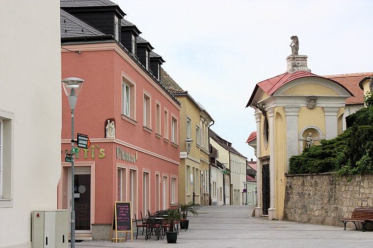
Annakapelle
Church

Photo: Robert Heilinger, CC BY-SA 3.0.
Annakapelle is a church, which is situated 250 metres southwest of Hundeauslaufzone.
Dreifaltigkeit
Wayside shrine

Photo: Robert Heilinger, CC BY-SA 3.0.
Dreifaltigkeit is a wayside shrine, which is situated 210 metres south of Hundeauslaufzone.
Pfarrkirche Trausdorf an der Wulka
Church

Photo: Robert Heilinger, CC BY-SA 3.0.
Pfarrkirche Trausdorf an der Wulka is a church, which is situated 750 metres southwest of Hundeauslaufzone.
Places in the Area
Nearby places include St. Georgen am Leithagebirge and Eisenstadt.
St. Georgen am Leithagebirge
Village

Photo: Maclemo, CC BY-SA 3.0 at.
St. Georgen am Leithagebirge is a town in Burgenland, Austria. It is one of the three districts of Eisenstadt. St. Georgen am Leithagebirge is situated 4½ km north of Hundeauslaufzone.
Eisenstadt

Photo: Wikimedia, CC BY-SA 3.0.
Eisenstadt is the state capital of Burgenland in Austria. It consists of 4 districts: Kleinhöflein im Burgenland, Eisenstadt-Oberberg, Eisenstadt-Unterberg and St.
Oberberg
Neighborhood
 Oberberg is a neighborhood, which is situated 5 km northwest of Hundeauslaufzone.
Hundeauslaufzone
- Type: Dog park
- Wheelchair access: limited
- Category: recreation area
- Location: Trausdorf an der Wulka, Eisenstadt-Umgebung District, Burgenland, Austria, Central Europe, Europe
- View on OpenStreetMap
Latitude
47.81678° or 47° 49′ 0″ northLongitude
16.56716° or 16° 34′ 2″ eastOpen location code
8FVRRH88+PVOpenStreetMap ID
way 855904571OpenStreetMap feature
leisure=dog_parkOpenStreetMap attribute
wheelchair=limited
This page is based on OpenStreetMap, Wikidata, and Wikimedia Commons.
We’d love your help improving our open data sources. Thank you for contributing.
Satellite Map
Discover Hundeauslaufzone from above in high-definition satellite imagery.
Places with the Same Name
Discover other places named “Hundeauslaufzone”.
Notable Places Nearby
Highlights include Cemetery Trausdorf an der Wulka and Weingut Blaues Haus.
Nearby Places
Explore places such as Bauhof Trausdorf and Aufbahrungshalle.
Burgenland: Must-Visit Destinations
Delve into Eisenstadt, Neusiedl am See, Rust, and Güssing.
Curious Dog Parks to Discover
Uncover intriguing dog parks from every corner of the globe.
About Mapcarta. Data © OpenStreetMap contributors and available under the Open Database License". Text is available under the CC BY-SA 4.0 license, except for photos, directions, and the map. Photo: Wikimedia, CC BY-SA 4.0.