Centre d’incendie et de secours de Corte
Centre d’incendie et de secours de Corte is a fire station in Corte, Upper Corsica, Corsica. Centre d’incendie et de secours de Corte is situated nearby to the pitch Stade de Chabrière, as well as near the post office Centre de tri.| Tap on a place to explore it |
Places of Interest Nearby
Highlights include Corte railway station and Annunciation Church.
Corte railway station
Railway station
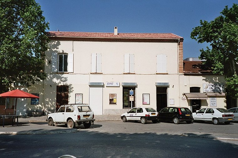
Photo: Wikimedia, CC BY-SA 3.0.
Corte railway station is situated 1 km west of Centre d’incendie et de secours de Corte.
Annunciation Church
Church

Photo: Wikimedia, CC BY-SA 2.0.
Annunciation Church is situated 1½ km west of Centre d’incendie et de secours de Corte.
Chapelle Saint-Antoine de Padoue de Corte
Church

Photo: Pierre Bona, CC BY-SA 3.0.
Chapelle Saint-Antoine de Padoue de Corte is a church, which is situated 1½ km west of Centre d’incendie et de secours de Corte.
Places in the Area
Nearby places include Santa-Lucia-di-Mercurio and Venaco.
Santa-Lucia-di-Mercurio
Village

Photo: Pierre Bona, CC BY-SA 3.0.
Santa-Lucia-di-Mercurio is a commune in the Haute-Corse department of France on the island of Corsica. Santa-Lucia-di-Mercurio is situated 5 km northeast of Centre d’incendie et de secours de Corte.
Venaco
Village

Photo: Pierre Bona, CC BY-SA 3.0.
Venaco is a commune in the Haute-Corse department of France on the island of Corsica. Venaco is situated 8 km south of Centre d’incendie et de secours de Corte.
Alando
Village

Photo: Pierre Bona, CC BY-SA 3.0.
Alando is a commune in the Haute-Corse department of France on the island of Corsica. Alando is situated 10 km east of Centre d’incendie et de secours de Corte.
Centre d’incendie et de secours de Corte
- Type: Fire station
- Also known as: “CORTE” and “CS Corte”
- Location: Corte, Arrondissement of Corte, Upper Corsica, Corsica, France, Europe
- View on OpenStreetMap
Latitude
42.30292° or 42° 18′ 11″ northLongitude
9.17016° or 9° 10′ 13″ eastOpen location code
8FJF853C+53OpenStreetMap ID
way 857532510OpenStreetMap feature
amenity=fire_station
This page is based on OpenStreetMap, Wikidata, and Wikimedia Commons.
We’d love your help improving our open data sources. Thank you for contributing.
Satellite Map
Discover Centre d’incendie et de secours de Corte from above in high-definition satellite imagery.
Notable Places Nearby
Highlights include Stade de Chabrière and Centre de tri.
Nearby Places
Explore places such as Zone Artisanale and Centrakor Corte.
Corsica: Must-Visit Destinations
Delve into Ajaccio, Bastia, Bonifacio, and Calvi.
Curious Fire Stations to Discover
Uncover intriguing fire stations from every corner of the globe.
About Mapcarta. Data © OpenStreetMap contributors and available under the Open Database License". Text is available under the CC BY-SA 4.0 license, except for photos, directions, and the map. Photo: KlausF, CC BY 3.0.