St. Andrew United Methodist Church
St. Andrew United Methodist Church is a church in Tippecanoe Township, Indiana which is located on North 50 West. St. Andrew United Methodist Church is situated nearby to the neighborhood Barbarry Heights, as well as near the town West Lafayette.| Tap on a place to explore it |
- Type: Church
- Denomination: United Methodist
- Address: 4703 North 50 West, West Lafayette, IN 47906
Places of Interest Nearby
Highlights include William Henry Harrison High School.
William Henry Harrison High School
School building
William Henry Harrison High School is a four-year public high school in Tippecanoe Township, Tippecanoe County, Indiana, with a West Lafayette post office address, and in proximity to West Lafayette. William Henry Harrison High School is situated 1 mile north of St. Andrew United Methodist Church.
Places in the Area
Nearby places include Barbarry Heights and West Lafayette.
Barbarry Heights
Neighborhood
West Lafayette is a city in Tippecanoe County, Indiana, United States. The population was 44,595 at the 2020 census. West Lafayette sits across the Wabash River from its sister city, Lafayette, and is a college town, home to Purdue University. Barbarry Heights is situated 2 miles south of St. Andrew United Methodist Church.
West Lafayette
Town
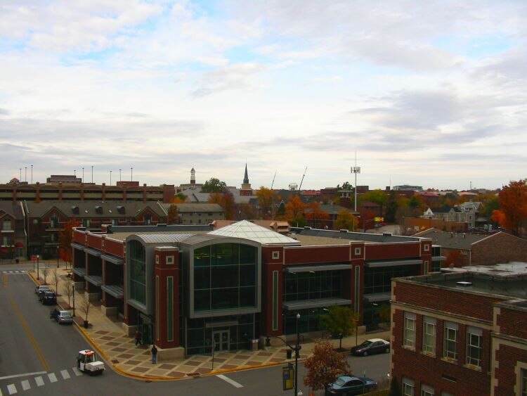
Photo: Qsthomson, CC BY-SA 3.0.
West Lafayette is a city in Tippecanoe County, Indiana, United States. The population was 44,595 at the 2020 census. West Lafayette sits across the Wabash River from its sister city, Lafayette, and is a college town, home to Purdue University. West Lafayette is situated 4 miles south of St. Andrew United Methodist Church.
Lafayette

Photo: Wikimedia, CC BY-SA 3.0.
Lafayette is the county seat of Tippecanoe County, Central Indiana. It is located 2 hours southeast of Chicago and 1 hour northwest of Indianapolis. The Greater Lafayette metropolitan area consists of the cities of Lafayette and West Lafayette.
St. Andrew United Methodist Church
- Categories: building, place of worship, and religion
- Location: Tippecanoe Township, Tippecanoe, Indiana, Midwest, United States, North America
- View on OpenStreetMap
Latitude
40.48599° or 40° 29′ 10″ northLongitude
-86.91408° or 86° 54′ 51″ westOpen location code
86GMF3PP+99OpenStreetMap ID
way 859093512OpenStreetMap feature
amenity=place_of_worshipOpenStreetMap feature
building=yesOpenStreetMap attribute
denomination=united_methodist
This page is based on OpenStreetMap, Wikidata, and Wikimedia Commons.
We’d love your help improving our open data sources. Thank you for contributing.
Satellite Map
Discover St. Andrew United Methodist Church from above in high-definition satellite imagery.
Places with the Same Name
Discover other places named “St. Andrew United Methodist Church”.
Notable Places Nearby
Highlights include Pierce Cemetery and Boilers FC.
Nearby Places
Explore places such as Burnett Creek Elementary School and Prophet’s Ridge.
Indiana: Must-Visit Destinations
Delve into Indianapolis, Fort Wayne, Gary, and Evansville.
Curious Churches to Discover
Uncover intriguing churches from every corner of the globe.
About Mapcarta. Data © OpenStreetMap contributors and available under the Open Database License". Text is available under the CC BY-SA 4.0 license, except for photos, directions, and the map. Photo: Wikimedia, CC0.