Freiwillige Feuerwehr Holzingen
Freiwillige Feuerwehr Holzingen is a fire station in Weißenburg, Middle Franconia, Bavaria. Freiwillige Feuerwehr Holzingen is situated nearby to the church St. Margareta, as well as near the village Kattenhochstatt.| Tap on a place to explore it |
Places of Interest Nearby
Highlights include St. Johannes and St. Magnus.
St. Johannes
Church

Photo: DALIBRI, CC BY-SA 4.0.
St. Johannes is a church, which is situated 1¼ km southeast of Freiwillige Feuerwehr Holzingen.
St. Magnus
Church
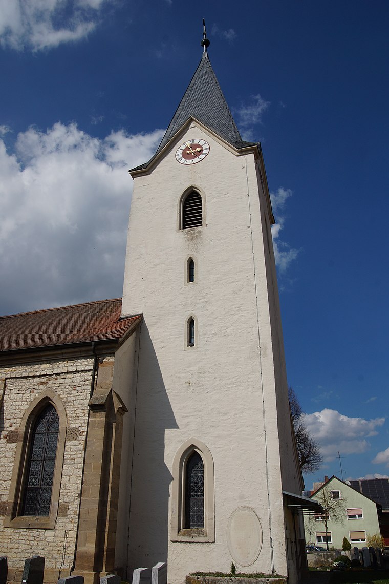
Photo: DALIBRI, CC BY-SA 4.0.
St. Magnus is a church, which is situated 1¼ km west of Freiwillige Feuerwehr Holzingen.
St. Vitus
Church

Photo: Mef.ellingen, CC BY-SA 3.0.
St. Vitus is a church, which is situated 2 km north of Freiwillige Feuerwehr Holzingen.
Places in the Area
Nearby places include Holzingen and Kattenhochstatt.


Freiwillige Feuerwehr Holzingen
- Type: Fire station
- Category: building
- Location: Weißenburg, Weißenburg-Gunzenhausen, Middle Franconia, Franconia, Bavaria, Germany, Central Europe, Europe
- View on OpenStreetMap
Latitude
49.02401° or 49° 1′ 26″ northLongitude
10.92273° or 10° 55′ 22″ eastOpen location code
8FXG2WFF+J3OpenStreetMap ID
way 859604530OpenStreetMap feature
amenity=fire_stationOpenStreetMap feature
building=yes
This page is based on OpenStreetMap, Wikidata, and Wikimedia Commons.
We’d love your help improving our open data sources. Thank you for contributing.
Satellite Map
Discover Freiwillige Feuerwehr Holzingen from above in high-definition satellite imagery.
Notable Places Nearby
Highlights include St. Margareta and SPVGG Eintracht Kattenhochstatt.
Nearby Places
Explore places such as Holzingen and Klosterdenkmal.
Middle Franconia: Must-Visit Destinations
Delve into Nuremberg, Erlangen, Fürth, and Ansbach.
Curious Fire Stations to Discover
Uncover intriguing fire stations from every corner of the globe.
About Mapcarta. Data © OpenStreetMap contributors and available under the Open Database License". Text is available under the CC BY-SA 4.0 license, except for photos, directions, and the map. Photo: Berthold Werner, CC0.