Indiana Department of Transportation
Indiana Department of Transportation is in Wabash Township, Tippecanoe, Indiana. Indiana Department of Transportation is situated nearby to West Lafayette Christian Church, as well as near Connection Point Church.| Tap on a place to explore it |
Places of Interest Nearby
Highlights include Ross–Ade Stadium and Mackey Arena.
Ross–Ade Stadium
Stadium

Photo: Tstuddud, Public domain.
Ross–Ade Stadium is a stadium in West Lafayette, Indiana, on the campus of Purdue University. It is the home field of Purdue Boilermakers football. Ross–Ade Stadium is situated 2 miles southeast of Indiana Department of Transportation.
Mackey Arena
Stadium

Photo: Westsidepb, CC BY-SA 3.0.
Mackey Arena is located in West Lafayette, Indiana. Part of the Purdue University campus, it is home to the university's basketball teams, and occasionally hosts home games for the volleyball and wrestling teams. Mackey Arena is situated 2 miles southeast of Indiana Department of Transportation.
Engineering Fountain
Fountain
 The Purdue Mall Water Sculpture, often referred to as the Engineering Fountain, is a water sculpture and fountain located at the main campus of Purdue University in West Lafayette, Indiana. Engineering Fountain is situated 2½ miles southeast of Indiana Department of Transportation.
Places in the Area
Nearby places include Barbarry Heights and West Lafayette.
Barbarry Heights
Neighborhood
West Lafayette is a city in Tippecanoe County, Indiana, United States. The population was 44,595 at the 2020 census. West Lafayette sits across the Wabash River from its sister city, Lafayette, and is a college town, home to Purdue University. Barbarry Heights is situated 2 miles east of Indiana Department of Transportation.
West Lafayette
Town
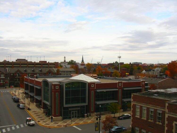
Photo: Qsthomson, CC BY-SA 3.0.
West Lafayette is a city in Tippecanoe County, Indiana, United States. The population was 44,595 at the 2020 census. West Lafayette sits across the Wabash River from its sister city, Lafayette, and is a college town, home to Purdue University. West Lafayette is situated 2½ miles southeast of Indiana Department of Transportation.
Ouiatanon
Locality
Ouiatenon was a dwelling place of members of the Wea tribe of Native Americans. The name Ouiatenon, also variously given as Ouiatanon, Oujatanon, Ouiatano or other similar forms, is a French rendering of a term from the Wea dialect of the Miami-Illinois language which means "place of the people of the whirlpool", an ethnonym for the Wea. Ouiatanon is situated 3 miles southwest of Indiana Department of Transportation.
Indiana Department of Transportation
- Type: Industry
- Location: Wabash Township, Tippecanoe, Indiana, Midwest, United States, North America
- View on OpenStreetMap
Latitude
40.45058° or 40° 27′ 2″ northLongitude
-86.94561° or 86° 56′ 44″ westOpen location code
86GMF323+6QOpenStreetMap ID
way 860195060OpenStreetMap feature
landuse=industrial
This page is based on OpenStreetMap, Wikidata, and Wikimedia Commons.
We’d love your help improving our open data sources. Thank you for contributing.
Satellite Map
Discover Indiana Department of Transportation from above in high-definition satellite imagery.
Places with the Same Name
Discover other places named “Indiana Department of Transportation”.
Notable Places Nearby
Highlights include West Lafayette Christian Church and Connection Point Church.
Nearby Places
Explore places such as Station 21 and The Cottages on Lindberg.
Indiana: Must-Visit Destinations
Delve into Indianapolis, Fort Wayne, Gary, and Evansville.
Curious Places to Discover
Uncover intriguing places from every corner of the globe.
About Mapcarta. Data © OpenStreetMap contributors and available under the Open Database License". Text is available under the CC BY-SA 4.0 license, except for photos, directions, and the map. Photo: Wikimedia, CC0.