VGP Park Magdeburg-Sülzetal
VGP Park Magdeburg-Sülzetal is in Sülzetal, Börde Rural District, Saxony-Anhalt, and is located on Bielefelder Straße. VGP Park Magdeburg-Sülzetal is situated nearby to the peak Osterberg, as well as near the hamlet Buch.| Tap on a place to explore it |
Places of Interest Nearby
Highlights include St. Lambertus and Fire station.
St. Lambertus
Church

Photo: Reise Reise, CC BY-SA 4.0.
St. Lambertus is a church, which is situated 2 km southeast of VGP Park Magdeburg-Sülzetal.
Fire station
Fire station

Photo: Reise Reise, CC BY-SA 4.0.
Fire station is situated 1½ km east of VGP Park Magdeburg-Sülzetal.
Taubenturm Kirchstraße
Tower

Photo: Olaf2, CC BY-SA 4.0.
Taubenturm Kirchstraße is a tower, which is situated 2 km southeast of VGP Park Magdeburg-Sülzetal.
Places in the Area
Nearby places include Buch and Wanzleben.
Buch
Hamlet
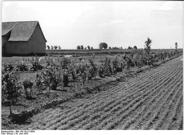
Photo: Wilhelm Biscan, CC BY-SA 3.0 de.
Buch is a hamlet, which is situated 5 km west of VGP Park Magdeburg-Sülzetal.
Wanzleben
Town

Photo: Olaf2, CC BY-SA 3.0.
Wanzleben is a town and a former municipality in the Börde district, in Sachsen-Anhalt, Germany. Between 2004 and 2010 it was the seat of the Verwaltungsgemeinschaft Börde Wanzleben. Wanzleben is situated 8 km west of VGP Park Magdeburg-Sülzetal.
Bottmersdorf
Village
Bottmersdorf is a village and a former municipality in the Börde district in Saxony-Anhalt, Germany. Since 1 January 2010, it is part of the town Wanzleben-Börde. Bottmersdorf is situated 9 km west of VGP Park Magdeburg-Sülzetal.
VGP Park Magdeburg-Sülzetal
- Type: Commerce
- Address: Bielefelder Straße, Osterweddingen, Sülzetal, 39171
- Location: Sülzetal, Börde Rural District, Saxony-Anhalt, Germany, Central Europe, Europe
- View on OpenStreetMap
Latitude
52.05206° or 52° 3′ 7″ northLongitude
11.56019° or 11° 33′ 37″ eastOperator
VGP Industriebau GmbHOpen location code
9F4H3H26+R3OpenStreetMap ID
way 865684598OpenStreetMap feature
landuse=commercial
This page is based on OpenStreetMap, Wikidata, and Wikimedia Commons.
We’d love your help improving our open data sources. Thank you for contributing.
Satellite Map
Discover VGP Park Magdeburg-Sülzetal from above in high-definition satellite imagery.
Notable Places Nearby
Highlights include Osterweddingen railway stop and Gemeindeverwaltung Sülzetal.
Nearby Places
Explore places such as Osterweddingen, Bielefelder Str./Süd and Osterweddingen Wind.
Saxony-Anhalt: Must-Visit Destinations
Delve into Magdeburg, Halle, Wittenberg, and Quedlinburg.
Curious Places to Discover
Uncover intriguing places from every corner of the globe.
About Mapcarta. Data © OpenStreetMap contributors and available under the Open Database License". Text is available under the CC BY-SA 4.0 license, except for photos, directions, and the map. Photo: GMM, Public domain.