Scierie Siméon
Scierie Siméon is a sawmill in Rumilly, Arrondissement of Annecy, Auvergne-Rhône-Alpes. Scierie Siméon is situated nearby to the pitch Paintball, as well as near Chevaliers Tireurs Rumilliens.| Tap on a place to explore it |
Places of Interest Nearby
Highlights include Rumilly station and Chapelle Notre-Dame-de-l’Aumône de Rumilly.
Rumilly station
Railway station

Photo: Wikimedia, Public domain.
Rumilly station is a railway station located in Rumilly, Haute-Savoie, south-eastern France. The station was opened in 1866 and is located on the Aix-les-Bains–Annemasse railway. The trains serving this station are operated by SNCF. Rumilly station is situated 1¼ km northwest of Scierie Siméon.
Chapelle Notre-Dame-de-l’Aumône de Rumilly
Church

Photo: Guilhem Vellut, CC BY 2.0.
Chapelle Notre-Dame-de-l’Aumône de Rumilly is a church, which is situated 1½ km north of Scierie Siméon.
Église Sainte-Agathe de Rumilly
Church
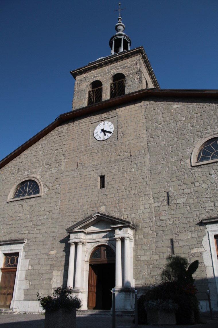
Photo: Richardd, CC BY-SA 3.0.
Église Sainte-Agathe de Rumilly is a church, which is situated 2 km northwest of Scierie Siméon.
Places in the Area
Nearby places include Boussy and Sales.
Boussy
Village

Photo: Wikimedia, CC BY-SA 4.0.
Boussy is a commune in the Haute-Savoie department in the Auvergne-Rhône-Alpes region in south-eastern France.
Sales
Village

Photo: Sebleouf, CC BY-SA 4.0.
Sales is a commune in the Haute-Savoie department in the Auvergne-Rhône-Alpes region in south-eastern France.
Marcellaz-Albanais
Village

Photo: Famille metral, CC BY-SA 3.0.
Marcellaz-Albanais is a commune in the Haute-Savoie department located in the Auvergne-Rhône-Alpes region in south-eastern France. Marcellaz-Albanais is situated 4 km northeast of Scierie Siméon.
Scierie Siméon
- Type: Sawmill
- Categories: building, workshop, and industry
- Location: Rumilly, Arrondissement of Annecy, Haute-Savoie, Auvergne-Rhône-Alpes, France, Europe
- View on OpenStreetMap
Latitude
45.85328° or 45° 51′ 12″ northLongitude
5.95676° or 5° 57′ 24″ eastOpen location code
8FQ7VX34+8POpenStreetMap ID
way 87062937OpenStreetMap feature
building=yesOpenStreetMap feature
craft=sawmill
This page is based on OpenStreetMap, Wikidata, and Wikimedia Commons.
We’d love your help improving our open data sources. Thank you for contributing.
Satellite Map
Discover Scierie Siméon from above in high-definition satellite imagery.
Notable Places Nearby
Highlights include Paintball and Chevaliers Tireurs Rumilliens.
Nearby Places
Explore places such as Artisanat and Tefal S.A.S Accueil.
Haute-Savoie: Must-Visit Destinations
Delve into Chamonix, Annecy, Annemasse, and Evian.
Curious Sawmills to Discover
Uncover intriguing sawmills from every corner of the globe.
About Mapcarta. Data © OpenStreetMap contributors and available under the Open Database License". Text is available under the CC BY-SA 4.0 license, except for photos, directions, and the map. Photo: Poudou99, CC BY-SA 3.0.