Letex
Letex is a building in Bavaria, Germany which is located on Pöttmeser Straße. Letex is situated nearby to the health club Iron Palace, as well as near the mosque Moschee / Kulturzentrum.| Tap on a place to explore it |
Places of Interest Nearby
Highlights include Lechhausen substation and Alter Ostfriedhof.
Lechhausen substation
Electrical substation

Photo: Mailtosap, CC BY-SA 4.0.
Lechhausen substation is an electrical substation, which is situated 1 km northwest of Letex.
Alter Ostfriedhof
Cemetery

Photo: Jkü, CC BY-SA 3.0.
Alter Ostfriedhof is a cemetery, which is situated 2 km southwest of Letex.
Abfallverwertungsanlage Augsburg
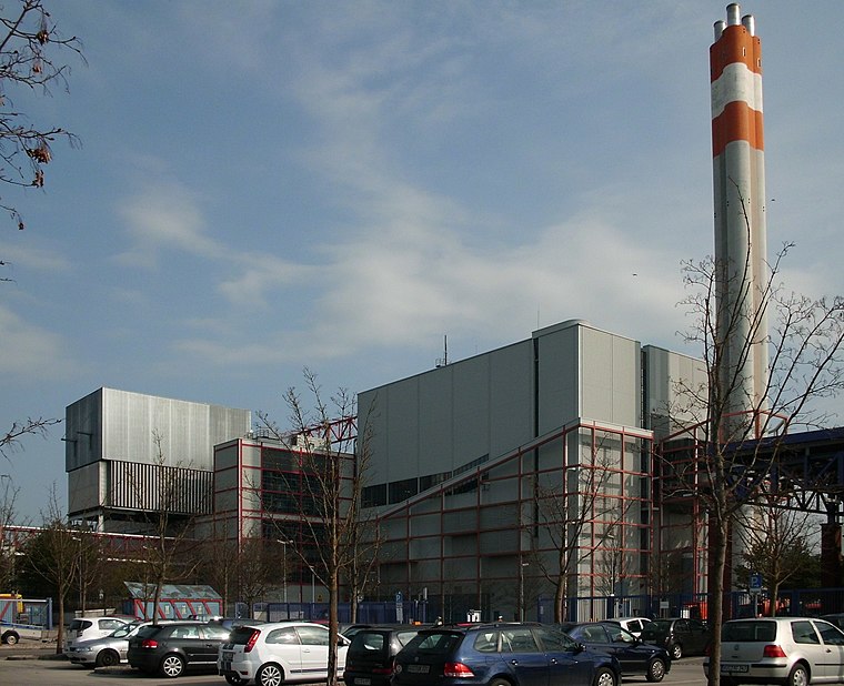
Photo: Mailtosap, CC BY-SA 3.0.
Abfallverwertungsanlage Augsburg is situated 1¼ km northwest of Letex.
Places in the Area
Nearby places include Augsburg-Hammerschmiede and Proviantbachquartier.
Augsburg-Hammerschmiede
Suburb
Hammerschmiede is one of the seventeen highest-level civic divisions, or planning districts, of Augsburg, Bavaria, Germany. As of January 1, 2006, it is estimated to have a population of 6,574.
Proviantbachquartier
Neighborhood

Photo: Befana, Public domain.
Proviantbachquartier is a neighborhood, which is situated 3½ km southwest of Letex.
Augsburg-Firnhaberau
Suburb

Photo: Mailtosap, CC BY-SA 3.0.
Firnhaberau is the 28th Stadtbezirk, or city district, of Augsburg, Bavaria, Germany. It currently makes up the entire 4th Planungsraum, or planning district, of Augsburg. The district has a population of approximately 5,500 and an area of 7.42 km2. Augsburg-Firnhaberau is situated 4 km west of Letex.
Letex
- Type: Building
- Address: Pöttmeser Straße 5, Augsburg, 86165
- Location: Bavaria, Germany, Central Europe, Europe
- View on OpenStreetMap
Latitude
48.39393° or 48° 23′ 38″ northLongitude
10.9418° or 10° 56′ 31″ eastOpen location code
8FWG9WVR+HPOpenStreetMap ID
way 87441252OpenStreetMap feature
building=yes
This page is based on OpenStreetMap, Wikidata, and Wikimedia Commons.
We’d love your help improving our open data sources. Thank you for contributing.
Satellite Map
Discover Letex from above in high-definition satellite imagery.
Notable Places Nearby
Highlights include Iron Palace and Moschee / Kulturzentrum.
Nearby Places
Explore places such as bofrost* Augsburg and Huber & Pöscha.
Bavaria: Must-Visit Destinations
Delve into Munich, Nuremberg, Augsburg, and Erlangen.
Curious Buildings to Discover
Uncover intriguing buildings from every corner of the globe.
About Mapcarta. Data © OpenStreetMap contributors and available under the Open Database License". Text is available under the CC BY-SA 4.0 license, except for photos, directions, and the map. Photo: gravitat-OFF, CC BY 2.0.