Crafton Elementary School
Crafton Elementary School is a school in Borough of Crafton, Allegheny County, Pennsylvania. Crafton Elementary School is situated nearby to Oakwood Road Bridge, as well as near Crafton United Presbyterian Church.| Tap on a place to explore it |
Places of Interest Nearby
Highlights include Idlewood station and West End Overlook.
Idlewood station
Bus station
Idlewood station is an elevated busway station operated by Pittsburgh Regional Transit near the East Carnegie and Oakwood neighborhoods of Pittsburgh, Pennsylvania. Idlewood station is situated 2,400 feet southwest of Crafton Elementary School.
West End Overlook
Park

Photo: ronjamin, CC BY-SA 2.5.
The West End-Elliott Overlook Park, often shortened to West End Overlook, is a small municipal park and scenic viewpoint in the Elliott neighborhood of Pittsburgh, Pennsylvania. West End Overlook is situated 2 miles northeast of Crafton Elementary School.
Saint Peter and Saint Paul Ukrainian Orthodox Church
Church
 Saint Peter and Saint Paul Ukrainian Orthodox Church is situated 2 miles southwest of Crafton Elementary School.
Places in the Area
Nearby places include Green Tree and Rosslyn Farms.
Green Tree
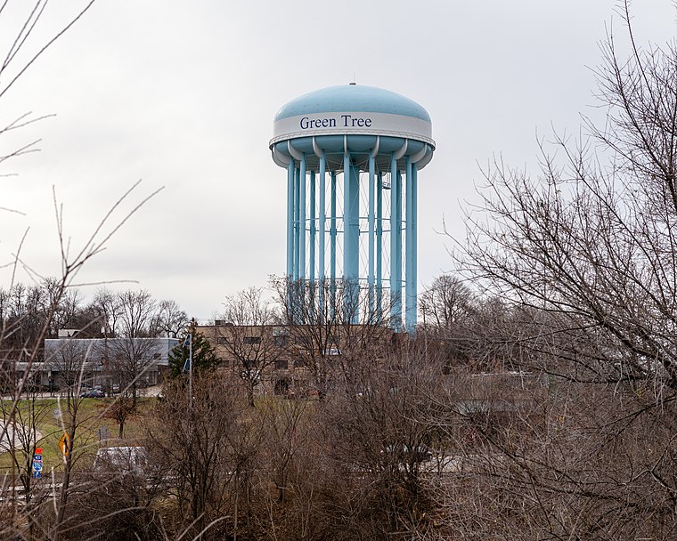
Photo: Generic1139, CC BY-SA 3.0.
Green Tree is a borough of Allegheny County, near Pittsburgh. It is located along I-376, between Pittsburgh to the east and Robinson Township and the Pittsburgh International Airport to the west.
Rosslyn Farms
Village

Photo: Generic1139, CC BY-SA 3.0.
Rosslyn Farms is a suburban borough located 5 miles west of Pittsburgh in Allegheny County, Pennsylvania, United States. It is a small community, with an area of only 0.6 square miles. The population was 441 at the 2020 census.
Chatham Village
Neighborhood

Photo: Leepaxton, CC BY-SA 4.0.
Chatham Village is a community within the larger Mount Washington neighborhood of the city of Pittsburgh, Pennsylvania, and an internationally acclaimed model of community design. Chatham Village is situated 2½ miles east of Crafton Elementary School.
Crafton Elementary School
- Type: School
- Category: education
- Location: Borough of Crafton, Allegheny County, Pittsburgh Region, Pennsylvania, Mid-Atlantic, United States, North America
- View on OpenStreetMap
Latitude
40.43102° or 40° 25′ 52″ northLongitude
-80.06697° or 80° 4′ 1″ westOpen location code
86GXCWJM+C6OpenStreetMap ID
way 874697028OpenStreetMap feature
amenity=school
This page is based on OpenStreetMap, Wikidata, and Wikimedia Commons.
We’d love your help improving our open data sources. Thank you for contributing.
Satellite Map
Discover Crafton Elementary School from above in high-definition satellite imagery.
Places with the Same Name
Discover other places named “Crafton Elementary School”.
Notable Places Nearby
Highlights include Crafton Elementary School Library and Oakwood Road Bridge.
Nearby Places
Explore places such as Crafton Elementary School and Bob’s Donuts Stop.
Allegheny County: Must-Visit Destinations
Delve into Pittsburgh, Oakland, Downtown Pittsburgh, and South Side.
Curious Places to Discover
Uncover intriguing places from every corner of the globe.
About Mapcarta. Data © OpenStreetMap contributors and available under the Open Database License". Text is available under the CC BY-SA 4.0 license, except for photos, directions, and the map. Photo: Albright.kevin.s, CC BY-SA 3.0.