Sotavankien hautausmaa
Sotavankien hautausmaa is a cemetery in Lappeenranta, South Karelia. Sotavankien hautausmaa is situated nearby to the cemetery Ristikankaan hautausmaa, as well as near the power station Ihalaisen lämpölaitos.| Tap on a place to explore it |
Places of Interest Nearby
Highlights include Lappeenranta airport and Lappeenranta Central Station.
Lappeenranta airport
Aerodrome
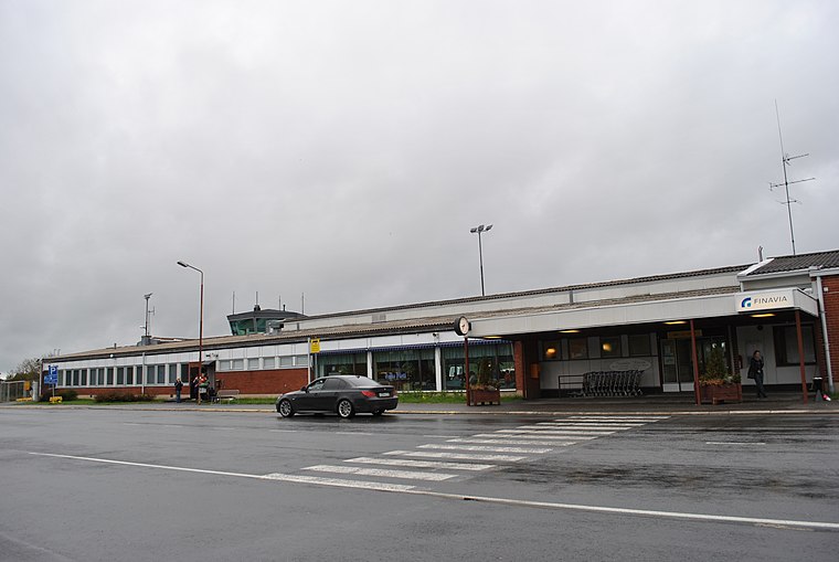
Photo: Smertsch, CC BY-SA 3.0.
Lappeenranta Airport is an international airport in Lappeenranta, Finland. It is 2.5 kilometers southwest of the city center and Lappeenranta Central Station.
Lappeenranta Central Station
Railway station

Photo: Junafani, CC BY-SA 3.0.
Lappeenranta Central Station is a train station located in the city of Lappeenranta in Finland. The station is served by traffic to Helsinki and Joensuu. Lappeenranta Central Station is situated 2 km northeast of Sotavankien hautausmaa.
St. Mary’s Church of Lappee
Church

Photo: Александров, CC BY-SA 3.0.
St. Mary's Church of Lappee is a wooden Evangelical Lutheran church in the center of Lappeenranta, Finland. The construction began in April 1792 and the church was consecrated partially unfinished in June 1794. St. Mary’s Church of Lappee is situated 2½ km northeast of Sotavankien hautausmaa.
Places in the Area
Nearby places include Myllymäki and Lauritsala.
Myllymäki
Suburb

Photo: Алексей Решетников, CC BY 3.0.
Myllymäki is a suburb, which is situated 3 km east of Sotavankien hautausmaa.
Lauritsala
Suburb

Photo: Johan Knutson, Public domain.
Lauritsala is a former Finnish market town in the South Karelia region. It was closed down on 1 January 1967 and was incorporated into Lappeenranta. The present district of Lauritsala comprises only the center of the former town. Lauritsala is situated 6 km northeast of Sotavankien hautausmaa.
Sotavankien hautausmaa
- Type: Cemetery
- Category: burial
- Location: Lappeenranta, South Karelia, Southern Finland, Finland, Nordic countries, Europe
- View on OpenStreetMap
Latitude
61.04095° or 61° 2′ 27″ northLongitude
28.1616° or 28° 9′ 42″ eastOpen location code
9GHC25R6+9JOpenStreetMap ID
way 877619299OpenStreetMap feature
landuse=cemetery
This page is based on OpenStreetMap, Wikidata, and Wikimedia Commons.
We’d love your help improving our open data sources. Thank you for contributing.
Satellite Map
Discover Sotavankien hautausmaa from above in high-definition satellite imagery.
Places with the Same Name
Discover other places named “Sotavankien hautausmaa”.
Notable Places Nearby
Highlights include Sotavankien hautausmaa and Ristikankaan hautausmaa.
Nearby Places
Explore places such as Neuvostosotilaiden muistomerkki and Pilotinkatu P.
South Karelia: Must-Visit Destinations
Delve into Imatra, Joutseno, Parikkala, and Rautjärvi.
Curious Cemeteries to Discover
Uncover intriguing cemeteries from every corner of the globe.
About Mapcarta. Data © OpenStreetMap contributors and available under the Open Database License". Text is available under the CC BY-SA 4.0 license, except for photos, directions, and the map. Photo: Wikimedia, CC0.