Government Reservation Building
Government Reservation Building is a building in Bronx, New York. Government Reservation Building is situated nearby to the lighthouse North Brother Island Light, as well as near the ruins Operations Building.| Tap on a place to explore it |
Places of Interest Nearby
Highlights include North Brother Island Light and Randalls Island.
North Brother Island Light
Lighthouse

Photo: Wikimedia, Public domain.
North Brother Island Light was a lighthouse located on North Brother Island in the East River in New York City. The lighthouse was at the southern tip of the island.
Randalls Island
Island
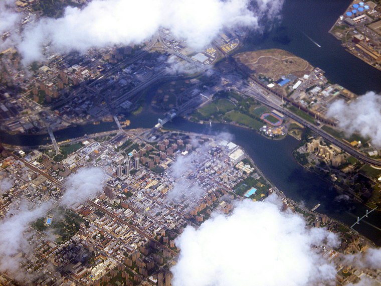
Photo: Chevy111, CC BY-SA 3.0.
Randalls Island and Wards Island are conjoined islands, collectively called Randalls and Wards Island, in New York City. Part of the borough of Manhattan, it is separated from Manhattan Island by the Harlem River, from Queens by the East River and Hell Gate, and from the Bronx by the Bronx Kill.
Barretto Point Park
Park

Photo: Deansfa, CC BY-SA 4.0.
Barretto Point Park is a waterfront public park on the East River located in the Hunts Point neighborhood of the Bronx, New York City, United States. Its namesake is Francis J. Barretto, a 19th-century merchant and State Assemblyman who lived in the area.
Places in the Area
Nearby places include Port Morris and Hunts Point.
Port Morris
Neighborhood

Photo: Jim.henderson, CC0.
Port Morris is a neighborhood geographically located in the southwest corner of the Bronx, New York City. The neighborhood is part of Bronx Community Board 1.
Hunts Point
Neighborhood

Photo: Jim.henderson, CC0.
Hunts Point is a neighborhood located on a peninsula in the South Bronx of New York City. It is the location of one of the largest food distribution facilities in the world, the Hunts Point Cooperative Market.
Mott Haven
Neighborhood
Photo: Amolina196, Public domain.
Mott Haven is a primarily residential neighborhood in the southwestern section of the New York City borough of the Bronx. It is generally bounded by East 149th Street to the north, the Bruckner Expressway to the east and south, and the Harlem River to the west, although these boundaries are not precise.
Government Reservation Building
- Type: Building
- Location: Bronx, New York, Mid-Atlantic, United States, North America
- View on OpenStreetMap
Latitude
40.79929° or 40° 47′ 57″ northLongitude
-73.89986° or 73° 53′ 60″ westOpen location code
87G8Q4X2+P3OpenStreetMap ID
way 887300791OpenStreetMap feature
building=yes
This page is based on OpenStreetMap, Wikidata, and Wikimedia Commons.
We’d love your help improving our open data sources. Thank you for contributing.
Satellite Map
Discover Government Reservation Building from above in high-definition satellite imagery.
Notable Places Nearby
Highlights include Operations Building and North Brother Lighthouse.
Nearby Places
Explore places such as North Brother Lighthouse Building and Light Tower.
New York: Must-Visit Destinations
Delve into New York City, Buffalo, Manhattan, and West Side.
Curious Buildings to Discover
Uncover intriguing buildings from every corner of the globe.
About Mapcarta. Data © OpenStreetMap contributors and available under the Open Database License". Text is available under the CC BY-SA 4.0 license, except for photos, directions, and the map. Photo: eviltomthai, CC BY 2.0.