QBP
QBP is a building in Hennepin, Minnesota. QBP is situated nearby to the park Hampshire Hills Playlot, as well as near Brye Park.| Tap on a place to explore it |
Places of Interest Nearby
Highlights include Hyland Lake Park Reserve and Dan Patch Line Bridge.

Dan Patch Line Bridge
Bridge

Photo: Tylervigen, CC BY 4.0.
The Dan Patch Line Bridge is a railroad swing bridge that carries the Canadian Pacific Railway's MN&S Subdivision across the Minnesota River in the U.S. state of Minnesota. Dan Patch Line Bridge is situated 2 miles south of QBP.
Hyland Hills Ski Area
Sports venue
Hyland Hills Ski Area is a ski area in Bloomington, Minnesota, United States, just south of Minneapolis. It is owned and operated by Three Rivers Park District. Hyland Hills Ski Area is situated 2 miles north of QBP.
Places in the Area
Nearby places include Bloomington and Savage.
Bloomington

Photo: Aine, CC BY-SA 2.0.
Bloomington, Minnesota is a suburb of Minneapolis. It is near the Minneapolis-St. Paul International Airport and home to the Mall of America, the United States' largest shopping mall.
Savage
Town

Photo: Tpdwkouaa, CC BY-SA 4.0.
Savage is a suburban city 15 miles south-southwest of downtown Minneapolis in Scott County in the U.S. state of Minnesota. The city is on the south bank of the Minnesota River in a region commonly called South of the River, comprising the southern portion of Minneapolis-St. Savage is situated 3 miles southeast of QBP.
Edina
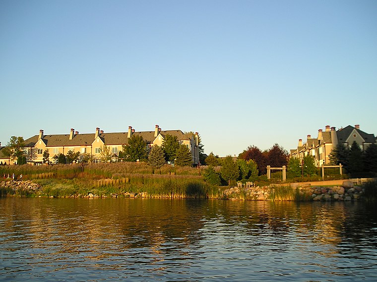
Photo: Andrew Balfour, CC BY 3.0.
Edina is a city in Hennepin County, Minnesota, United States and a first-ring suburb of Minneapolis. The population was 53,494 at the 2020 census, making it the 18th most populous city in Minnesota.
QBP
- Type: Building
- Location: Hennepin, Minnesota, Midwest, United States, North America
- View on OpenStreetMap
Latitude
44.81449° or 44° 48′ 52″ northLongitude
-93.36663° or 93° 21′ 60″ westOpen location code
86P8RJ7M+Q8OpenStreetMap ID
way 89062229OpenStreetMap feature
building=yes
This page is based on OpenStreetMap, Wikidata, and Wikimedia Commons.
We’d love your help improving our open data sources. Thank you for contributing.
Satellite Map
Discover QBP from above in high-definition satellite imagery.
Places with the Same Name
Discover other places named “QBP”.
Notable Places Nearby
Highlights include Hampshire Hills Playlot and Brye Park.
Nearby Places
Explore places such as Brunswick Rd and 106 St W.
Minnesota: Must-Visit Destinations
Delve into Minneapolis, Saint Paul, Duluth, and Rochester.
Curious Buildings to Discover
Uncover intriguing buildings from every corner of the globe.
About Mapcarta. Data © OpenStreetMap contributors and available under the Open Database License". Text is available under the CC BY-SA 4.0 license, except for photos, directions, and the map. Photo: Wikimedia, CC0.