Le Parc du Mont Joly
Le Parc du Mont Joly is a residential area in Saint-Gervais-les-Bains, Arrondissement of Bonneville, Auvergne-Rhône-Alpes. Le Parc du Mont Joly is situated nearby to the summer camp facility Le Pré Fleuri, as well as near the motorhome stopover Saint-Gervais-les-Bains - Aire Camping Car.| Tap on a place to explore it |
Places of Interest Nearby
Highlights include Église Saint-Gervais de Saint-Gervais-les-Bains and Maison forte de Hautetour.
Église Saint-Gervais de Saint-Gervais-les-Bains
Church

Photo: Jean-Pol GRANDMONT, CC BY 3.0.
Église Saint-Gervais de Saint-Gervais-les-Bains is a church, which is situated 620 metres north of Le Parc du Mont Joly.
Maison forte de Hautetour
Museum

Photo: MB-one, CC BY-SA 4.0.
Maison forte de Hautetour is a museum, which is situated 750 metres northeast of Le Parc du Mont Joly.
Viaduc de Saint-Gervais
Bridge

Photo: Siren-Com, CC BY-SA 3.0.
Viaduc de Saint-Gervais is a bridge, which is situated 760 metres north of Le Parc du Mont Joly.
Places in the Area
Nearby places include Le Bettex (Saint-Gervais-les-Bains) and Le Champel.

Le Champel
Hamlet

Photo: Nicolas Vigier, CC BY 2.0.
Le Champel is a hamlet, which is situated 3½ km southeast of Le Parc du Mont Joly.
Passy
Town
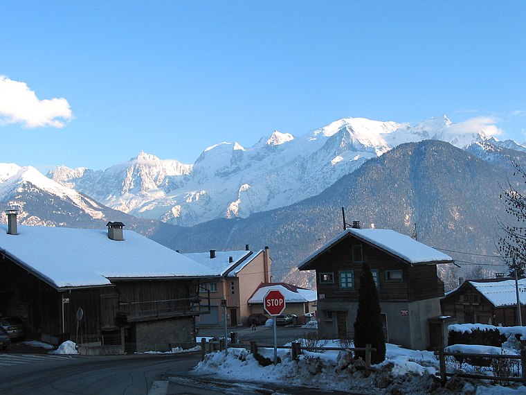
Photo: Jean-Pol GRANDMONT, CC BY 3.0.
Passy is a commune in the Haute-Savoie department in the Auvergne-Rhône-Alpes region in south-eastern France. It is part of the urban area of Sallanches. Passy is situated 4½ km northwest of Le Parc du Mont Joly.
Le Parc du Mont Joly
Latitude
45.88676° or 45° 53′ 12″ northLongitude
6.70795° or 6° 42′ 29″ eastOpen location code
8FQ8VPP5+P5OpenStreetMap ID
way 890778646OpenStreetMap feature
landuse=residential
This page is based on OpenStreetMap, Wikidata, and Wikimedia Commons.
We’d love your help improving our open data sources. Thank you for contributing.
Satellite Map
Discover Le Parc du Mont Joly from above in high-definition satellite imagery.
Notable Places Nearby
Highlights include Le Pré Fleuri and Saint-Gervais-les-Bains - Aire Camping Car.
Nearby Places
Explore places such as Beaulieu and Mont-Blanc & Spa.
Haute-Savoie: Must-Visit Destinations
Delve into Chamonix, Annecy, Annemasse, and Evian.
Curious Residential Areas to Discover
Uncover intriguing residential areas from every corner of the globe.
About Mapcarta. Data © OpenStreetMap contributors and available under the Open Database License". Text is available under the CC BY-SA 4.0 license, except for photos, directions, and the map. Photo: Jacek79, CC BY-SA 4.0.