Pinaleta de Derqui
Pinaleta de Derqui is a forest in Puerto Real, Cádiz, Andalusia. Pinaleta de Derqui is situated nearby to the neighborhood La Marroquina, as well as near Barriada Marroquina.| Tap on a place to explore it |
Places of Interest
Highlights include Mercado de Abastos and Parque de Las Canteras.
Mercado de Abastos
Marketplace

Photo: El Pantera, CC BY-SA 4.0.
Mercado de Abastos is a marketplace.

Las Aletas train station
Railway station
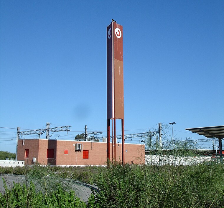
Photo: El Pantera, CC BY-SA 4.0.
Las Aletas train station is a railway station.
Places in the Area
Nearby places include Bahía de Cádiz Natural Park and Arsenal de La Carraca.
Bahía de Cádiz Natural Park

Photo: NACLE, CC BY-SA 4.0.
Bahía de Cádiz Natural Park is a 10,522-hectare natural park located in the province of Cádiz. It was established in 1989.
Arsenal de La Carraca
Neighborhood

Photo: Wikimedia, Public domain.
Arsenal de La Carraca, also Naval Station of La Carraca, is a naval shipyard and a naval base in San Fernando, Spain. It is a naval base for the construction and repair of ships, and the storage and distribution of arms and ammunition.

Pinaleta de Derqui
- Type: Forest
- Location: Puerto Real, Cádiz, Andalusia, Spain, Iberia, Europe
- View on OpenStreetMap
Latitude
36.5321° or 36° 31′ 56″ northLongitude
-6.1784° or 6° 10′ 42″ westOpen location code
8C8MGRJC+RJOpenStreetMap ID
way 89232568OpenStreetMap feature
landuse=forest
This page is based on OpenStreetMap, Wikidata, and Wikimedia Commons.
We’d love your help improving our open data sources. Thank you for contributing.
Satellite Map
Discover Pinaleta de Derqui from above in high-definition satellite imagery.
Localities in the Area
Explore places such as La Marroquina and Barriada Marroquina.
Notable Places Nearby
Highlights include kortatus and Pinaleta Derqui.
Cádiz: Must-Visit Destinations
Delve into Cádiz, Jerez de la Frontera, Algeciras, and Tarifa.
Curious Forests to Discover
Uncover intriguing forests from every corner of the globe.
About Mapcarta. Data © OpenStreetMap contributors and available under the Open Database License". Text is available under the CC BY-SA 4.0 license, except for photos, directions, and the map. Photo: Wikimedia, CC0.