Alqueria de Montíber
Alqueria de Montíber is a house in Canet d’en Berenguer, Valencia, Valencian Community. Alqueria de Montíber is situated nearby to the peak el Cabeçol, as well as near the reservoir Bassa de Vil·la Maria.| Tap on a place to explore it |
Places of Interest Nearby
Highlights include Sagunt railway station and Sagunto Roman theatre.
Sagunt railway station
Railway station

Photo: Aliance, CC BY-SA 3.0.
Sagunt railway station is the central railway station serving the municipality of Sagunt, Spain. The station is situated on the intersection of the Valencia−Sant Vicenç de Calders railway and the Zaragoza-Sagunt railway and is part of Adif and it accommodates RENFE long-distance and medium-distance trains. Sagunt railway station is situated 3 km southwest of Alqueria de Montíber.
Sagunto Roman theatre
Theater building
 The Teatro romano de Sagunto is a Roman theatre located in Sagunto, Spain. It was declared Bien de Interés Cultural in 1896. The Roman Theatre of Sagunto is located at the foot of the mountain, crowned by Sagunto Castle. Sagunto Roman theatre is situated 3½ km southwest of Alqueria de Montíber.
Museu Històric de Sagunt
Museum

Photo: Joanbanjo, CC BY-SA 3.0.
Museu Històric de Sagunt is a museum, which is situated 3½ km west of Alqueria de Montíber.
Places in the Area
Nearby places include Canet d’en Berenguer and Sagunto.
Canet d’en Berenguer
Village

Photo: 19Tarrestnom65, CC BY-SA 4.0.
Canet d'en Berenguer is a municipality in the comarca of Camp de Morvedre in the Valencian Community, Spain.
Sagunto

Photo: Poco a poco, CC BY-SA 4.0.
Sagunto is a city of 66,000 people in Valencia. It is best known for the remains of the ancient Iberian and Roman city of Saguntum, which played a significant part in the Second Punic War between the Carthaginians and the Romans.
Faura Municipality
Village
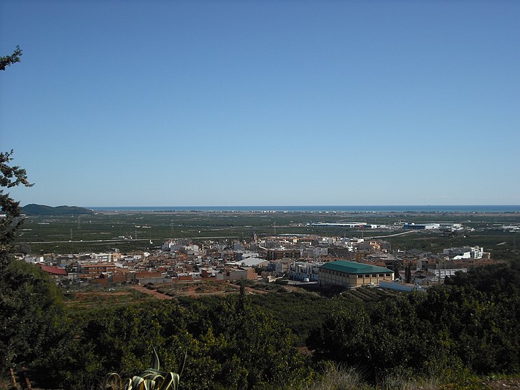
Photo: Qoan, CC BY-SA 3.0.
Faura is a municipality in the comarca of Camp de Morvedre in the Valencian Community, Spain. The patron saint of this town is Saint Barbara. During some feast days there is an event in which the people of Faura hold a procession for the image of the virgin. Faura Municipality is situated 4½ km northwest of Alqueria de Montíber.
Alqueria de Montíber
- Type: House
- Categories: building and residential building
- Location: Canet d’en Berenguer, Valencia, Valencian Community, Eastern Spain, Spain, Iberia, Europe
- View on OpenStreetMap
Latitude
39.68987° or 39° 41′ 24″ northLongitude
-0.24106° or 0° 14′ 28″ westOpen location code
8CFXMQQ5+WHOpenStreetMap ID
way 89454005OpenStreetMap feature
building=detached
This page is based on OpenStreetMap, Wikidata, and Wikimedia Commons.
We’d love your help improving our open data sources. Thank you for contributing.
Satellite Map
Discover Alqueria de Montíber from above in high-definition satellite imagery.
Notable Places Nearby
Highlights include Bolera Canet and el Cabeçol.
Nearby Places
Explore places such as Motor de Menxeta and Casa de Menxeta.
Valencia: Must-Visit Destinations
Delve into Valencia, Sagunto, Gandía, and Xàtiva.
Curious Houses to Discover
Uncover intriguing houses from every corner of the globe.
About Mapcarta. Data © OpenStreetMap contributors and available under the Open Database License". Text is available under the CC BY-SA 4.0 license, except for photos, directions, and the map. Photo: andruby, CC BY 2.0.