Baugebiet Auf dem Bleck, Teil I, Teilbereich A
Baugebiet Auf dem Bleck, Teil I, Teilbereich A is in Dülmen, Coesfeld, North Rhine-Westphalia. Baugebiet Auf dem Bleck, Teil I, Teilbereich A is situated nearby to the hamlet Dernekamp, as well as near Mitwick.| Tap on a place to explore it |
Places of Interest Nearby
Highlights include Haus Osthoff and Dülmen station.
Haus Osthoff
Manor estate

Photo: Wikimedia, CC BY-SA 4.0.
Haus Osthoff is a manor estate, which is situated 2 km north of Baugebiet Auf dem Bleck, Teil I, Teilbereich A.
Dülmen station
Railway station

Photo: Platte, CC BY-SA 3.0.
Dülmen station is one of two operating tower stations in the German state of North Rhine-Westphalia. It is located in Dülmen in western Münsterland. It is at the crossing of the Wanne-Eickel–Hamburg and the Dortmund–Gronau railways. Dülmen station is situated 2 km northwest of Baugebiet Auf dem Bleck, Teil I, Teilbereich A.
Lüdinghauser Tor
City gate

Photo: Wikimedia, CC BY-SA 4.0.
Lüdinghauser Tor is a city gate, which is situated 2½ km northwest of Baugebiet Auf dem Bleck, Teil I, Teilbereich A.
Places in the Area
Nearby places include Dernekamp and Mitwick.

Mitwick
Hamlet
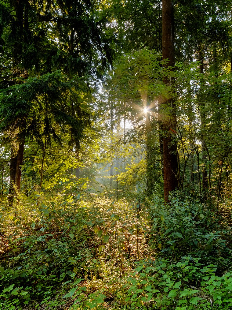
Photo: Wikimedia, CC BY-SA 4.0.
Mitwick is a hamlet, which is situated 4 km north of Baugebiet Auf dem Bleck, Teil I, Teilbereich A.
Rödder
Hamlet

Photo: Wikimedia, CC BY-SA 4.0.
Rödder is a hamlet, which is situated 4 km northeast of Baugebiet Auf dem Bleck, Teil I, Teilbereich A.
Baugebiet Auf dem Bleck, Teil I, Teilbereich A
- Type: Construction
- Location: Dülmen, Coesfeld, Münster, Münsterland, North Rhine-Westphalia, Germany, Central Europe, Europe
- View on OpenStreetMap
Latitude
51.81622° or 51° 48′ 58″ northLongitude
7.31455° or 7° 18′ 52″ eastOpen location code
9F39R887+FROpenStreetMap ID
way 895435622OpenStreetMap feature
landuse=construction
This page is based on OpenStreetMap, Wikidata, and Wikimedia Commons.
We’d love your help improving our open data sources. Thank you for contributing.
Satellite Map
Discover Baugebiet Auf dem Bleck, Teil I, Teilbereich A from above in high-definition satellite imagery.
Notable Places Nearby
Highlights include Die Sauna-Insel Dülmen and ABC Zug Kreis Coesfeld.
Nearby Places
Explore places such as 10 kV Station Mohnblumenstraße and Pferdekamp.
Münsterland: Must-Visit Destinations
Delve into Münster, Bocholt, Rheine, and Haltern am See.
Curious Places to Discover
Uncover intriguing places from every corner of the globe.
About Mapcarta. Data © OpenStreetMap contributors and available under the Open Database License". Text is available under the CC BY-SA 4.0 license, except for photos, directions, and the map. Photo: Wikimedia, CC0.