Jugendwerk Birkeneck
Jugendwerk Birkeneck is a social service facility in Bavaria, Germany. Jugendwerk Birkeneck is situated nearby to the church Klosterkirche Herz-Jesu-Missionare, as well as near Waldkapelle Birkeneck.| Tap on a place to explore it |
- Email: verwaltung@birkeneck.de
- Type: Social service facility
- Address: 1, Birkeneck, Hallbergmoos, 85399
Places of Interest Nearby
Highlights include St. Theresia and Hampton by Hilton Munich Airport South.
St. Theresia
Church

Photo: AHert, CC BY-SA 3.0.
St. Theresia is a church, which is situated 610 metres west of Jugendwerk Birkeneck.
Hampton by Hilton Munich Airport South
Hotel
 Hampton by Hilton Munich Airport South is a hotel, which is situated 1½ km west of Jugendwerk Birkeneck.
Umspannwerk Hallbergmoos
Electrical substation
 Umspannwerk Hallbergmoos is an electrical substation, which is situated 1½ km west of Jugendwerk Birkeneck.
Places in the Area
Nearby places include Birkeneck and Achering.

Achering
Village
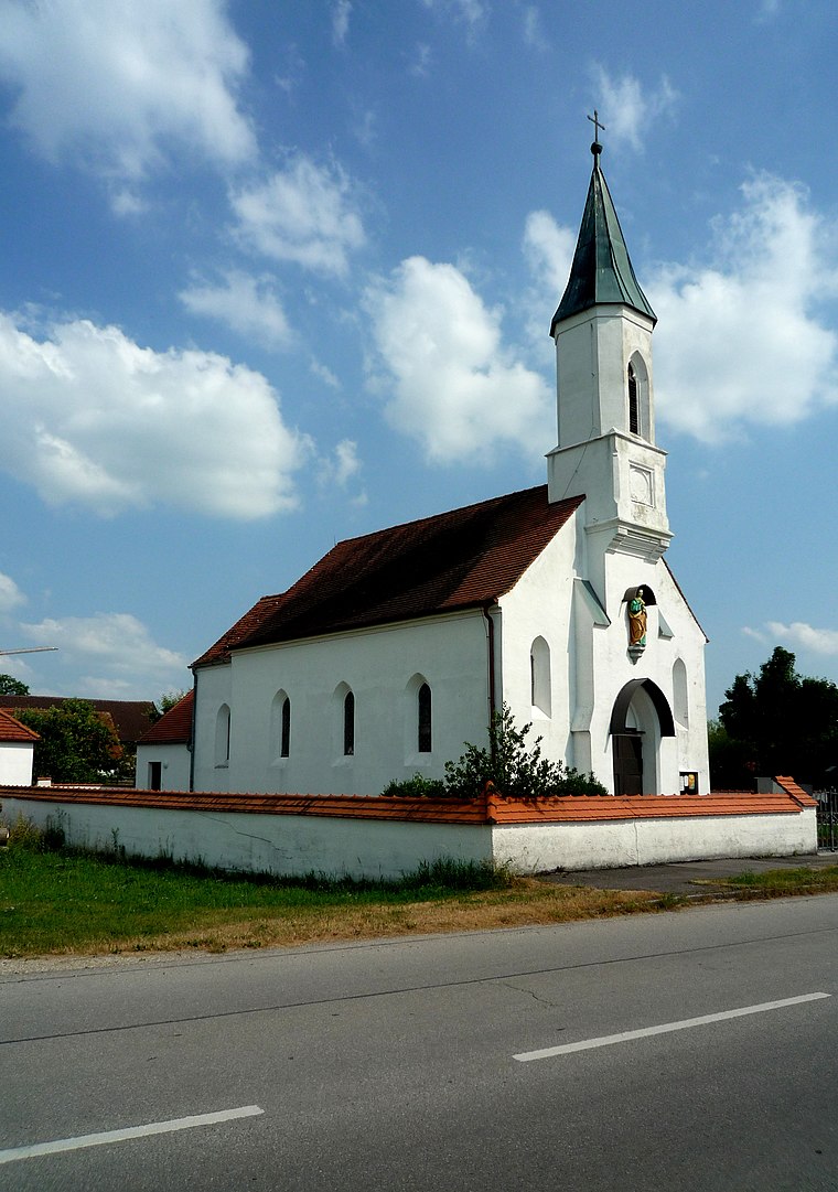
Photo: Vuxi, CC BY-SA 3.0.
Achering is a village, which is situated 4½ km northwest of Jugendwerk Birkeneck.
Erching
Hamlet

Photo: Wikimedia, CC BY-SA 3.0.
Erching is a hamlet, which is situated 5 km southwest of Jugendwerk Birkeneck.
Jugendwerk Birkeneck
- Location: Bavaria, Germany, Central Europe, Europe
- View on OpenStreetMap
Latitude
48.32625° or 48° 19′ 35″ northLongitude
11.75978° or 11° 45′ 35″ eastOperator
Jugendwerk Birkeneck GmbHOpen location code
8FWH8QG5+FWOpenStreetMap ID
way 897733769OpenStreetMap feature
amenity=social_facility
This page is based on OpenStreetMap, Wikidata, and Wikimedia Commons.
We’d love your help improving our open data sources. Thank you for contributing.
Satellite Map
Discover Jugendwerk Birkeneck from above in high-definition satellite imagery.
Notable Places Nearby
Highlights include Klosterkirche Herz-Jesu-Missionare and JUZ Hallbergmoos.
Nearby Places
Explore places such as Berufsschule and Die Rappelkiste - Elterninitiativkindergarten.
Bavaria: Must-Visit Destinations
Delve into Munich, Nuremberg, Erlangen, and Augsburg.
Curious Social Service Facilities to Discover
Uncover intriguing social service facilities from every corner of the globe.
About Mapcarta. Data © OpenStreetMap contributors and available under the Open Database License". Text is available under the CC BY-SA 4.0 license, except for photos, directions, and the map. Photo: gravitat-OFF, CC BY 2.0.