Capela da Senhora dos Remédios
Capela da Senhora dos Remédios is a church in Braganza District, Portugal. Capela da Senhora dos Remédios is situated nearby to the peak Touca Rota, as well as near Faro.| Tap on a place to explore it |
Places of Interest Nearby
Highlights include Pillory of Vilas Boas.
Pillory of Vilas Boas

Photo: Reis Quarteu, CC BY-SA 4.0.
Pillory of Vilas Boas is situated 4 km south of Capela da Senhora dos Remédios.
Places in the Area
Nearby places include Frechas and Freixiel.
Frechas
Village
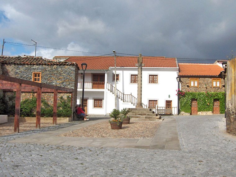
Photo: Afasoft, CC BY-SA 3.0.
Frechas is a Portuguese civil parish, located in the municipality of Mirandela, in the district of Bragança. The population in 2011 was 929, in an area of 18.54 km2. Frechas is situated 4½ km northeast of Capela da Senhora dos Remédios.
Freixiel
Village

Photo: NelsonCM, CC BY-SA 3.0.
Freixiel is a village, which is situated 8 km southwest of Capela da Senhora dos Remédios.
Vila Flor Municipality
Town

Photo: Salgueiro, CC BY-SA 3.0.
Vila Flor is a municipality in Portugal. Locally referred to as the Portuguese Capital of Olive Oil, Vila Flor is located in the Terra Quente Transmontana, in the southern part of the district of Bragança. Vila Flor Municipality is situated 9 km southeast of Capela da Senhora dos Remédios.
Capela da Senhora dos Remédios
- Type: Church
- Denomination: Roman Catholic
- Categories: building, chapel, place of worship, and religion
- Location: Braganza District, Portugal, Iberia, Europe
- View on OpenStreetMap
Latitude
41.38137° or 41° 22′ 53″ northLongitude
-7.20327° or 7° 12′ 12″ westOpen location code
8CHJ9QJW+GMOpenStreetMap ID
way 899046619OpenStreetMap feature
amenity=place_of_worshipOpenStreetMap feature
building=chapelOpenStreetMap attribute
denomination=roman_catholic
This page is based on OpenStreetMap, Wikidata, and Wikimedia Commons.
We’d love your help improving our open data sources. Thank you for contributing.
Satellite Map
Discover Capela da Senhora dos Remédios from above in high-definition satellite imagery.
Places with the Same Name
Discover other places named “Capela da Senhora dos Remédios”.
Notable Places Nearby
Highlights include Senhora dos Remédios and Touca Rota.
Nearby Places
Explore places such as Estação de Vilarinho and Cais de carga da estação de Vilarinho.
Portugal: Must-Visit Destinations
Delve into Lisbon, Caldas da Rainha, Porto, and Coimbra.
Curious Churches to Discover
Uncover intriguing churches from every corner of the globe.
About Mapcarta. Data © OpenStreetMap contributors and available under the Open Database License". Text is available under the CC BY-SA 4.0 license, except for photos, directions, and the map. Photo: Tsy1980, CC BY-SA 4.0.