Perutnica
Perutnica is in Town of Prelog, Međimurje County. Perutnica is situated nearby to the village Otok, as well as near the oxbow lake Hubertova graba.| Tap on a place to explore it |
Places in the Area
Nearby places include Otok and Prelog.
Otok
Village
Otok is a village in Međimurje County, Croatia. The village is located around 2 kilometres east of the town of Prelog, and is administratively part of its wider area.
Prelog
Town
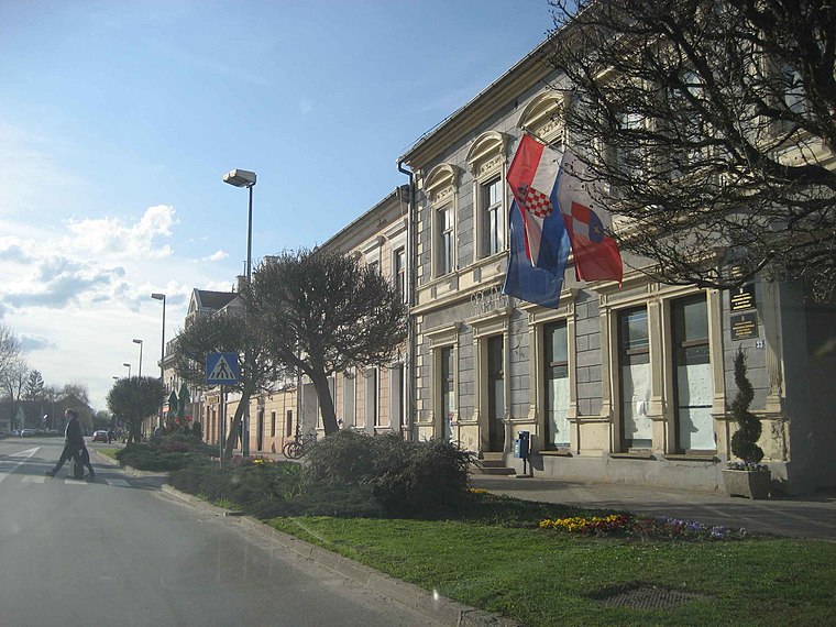
Photo: Croq, CC BY-SA 3.0.
Prelog is a city in Međimurje County, in northern Croatia. The total population of the city is 4,042, with 7,027 in the city's administrative area, making it the second most populated settlement in the county, after Čakovec. Prelog is situated 2½ km northeast of Perutnica.
Hrženica
Village
Hrženica is a village in Varaždin County, Croatia. The village is part of the Sveti Đurđ municipality and had a population of 830 in the 2011 census. It is located in the north-eastern part of Varaždin County, near the Drava and Lake Dubrava. Hrženica is situated 3 km south of Perutnica.
Perutnica
- Type: Body of water
- Location: Town of Prelog, Međimurje County, Croatia, Balkans, Europe
- View on OpenStreetMap
Latitude
46.32463° or 46° 19′ 29″ northLongitude
16.58423° or 16° 35′ 3″ eastOpen location code
8FRR8HFM+VMOpenStreetMap ID
way 906055761OpenStreetMap feature
natural=water
This page is based on OpenStreetMap, Wikidata, and Wikimedia Commons.
We’d love your help improving our open data sources. Thank you for contributing.
Satellite Map
Discover Perutnica from above in high-definition satellite imagery.
Notable Places Nearby
Highlights include Hubertova graba and Stadion Gmajna.
Nearby Places
Explore places such as Ribički dom and Perutnica.
Croatia: Must-Visit Destinations
Delve into Zagreb, Dubrovnik, Split, and Rijeka.
Curious Places to Discover
Uncover intriguing places from every corner of the globe.
About Mapcarta. Data © OpenStreetMap contributors and available under the Open Database License". Text is available under the CC BY-SA 4.0 license, except for photos, directions, and the map. Photo: Wikimedia, CC BY-SA 3.0.