Weinmann-Energies SA
Weinmann-Energies SA is a building in Echallens, Gros-de-Vaud District, Vaud which is located on Chemin du Grésaley. Weinmann-Energies SA is situated nearby to the railway stop Grésaley railway station, as well as near Sur Roche railway station.| Tap on a place to explore it |
Places of Interest Nearby
Highlights include Grésaley railway station and Sur Roche railway station.
Grésaley railway station
Railway stop

Photo: Abaddon1337, CC BY-SA 3.0.
Grésaley railway station is a railway station in the municipality of Échallens, in the Swiss canton of Vaud. It is located on the 1,000 mm Lausanne–Bercher line of the Chemin de fer Lausanne-Échallens-Bercher.
Sur Roche railway station
Railway stop

Photo: Abaddon1337, CC BY-SA 3.0.
Sur Roche railway station is a railway station in the municipality of Échallens, in the Swiss canton of Vaud. It is located on the 1,000 mm Lausanne–Bercher line of the Chemin de fer Lausanne-Échallens-Bercher. Sur Roche railway station is situated 390 metres southwest of Weinmann-Energies SA.
Museum of the House of wheat and bread
Museum

Photo: Gameb, CC BY-SA 3.0.
Museum of the House of wheat and bread is situated 770 metres west of Weinmann-Energies SA.
Places in the Area
Nearby places include Échallens and Villars-le-Terroir.
Échallens
Village
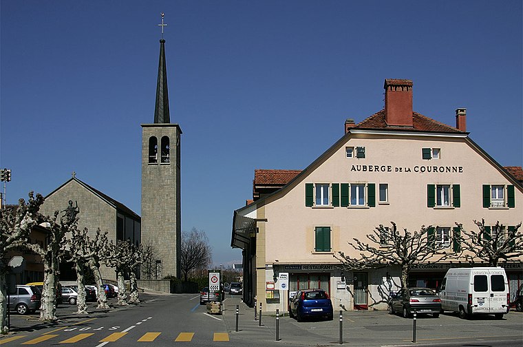
Photo: Wikimedia, CC BY-SA 3.0.
Échallens is a municipality in the district of Gros-de-Vaud in the canton of Vaud in Switzerland.
Villars-le-Terroir
Village

Photo: Abaddon1337, CC BY-SA 3.0.
Villars-le-Terroir is a municipality in the district of Gros-de-Vaud in the canton of Vaud in Switzerland.
Poliez-le-Grand
Village

Photo: Inisheer, CC BY-SA 3.0.
Poliez-le-Grand is a former municipality in the district of Gros-de-Vaud in the canton of Vaud in Switzerland. The municipalities of Dommartin, Naz, Poliez-le-Grand and Sugnens merged on 1 July 2011 into the new municipality of Montilliez.
Weinmann-Energies SA
- Type: Business
- Address: Chemin du Grésaley 4, Echallens, 1040
- Categories: building and office
- Location: Echallens, Gros-de-Vaud District, Vaud, Western Switzerland, Switzerland, Central Europe, Europe
- View on OpenStreetMap
Latitude
46.64314° or 46° 38′ 35″ northLongitude
6.64252° or 6° 38′ 33″ eastOpen location code
8FR8JJVV+72OpenStreetMap ID
way 90709404OpenStreetMap feature
building=yesOpenStreetMap feature
office=company
This page is based on OpenStreetMap, Wikidata, and Wikimedia Commons.
We’d love your help improving our open data sources. Thank you for contributing.
Satellite Map
Discover Weinmann-Energies SA from above in high-definition satellite imagery.
Notable Places Nearby
Highlights include Tennis Echallens and Buddhadam Association.
Nearby Places
Explore places such as Grésaley and Centre collecteur d’Echallens.
Vaud: Must-Visit Destinations
Delve into Lausanne, Montreux, Nyon, and Vevey.
Curious Places to Discover
Uncover intriguing places from every corner of the globe.
About Mapcarta. Data © OpenStreetMap contributors and available under the Open Database License". Text is available under the CC BY-SA 4.0 license, except for photos, directions, and the map. Photo: Annickjaquillard, CC BY-SA 4.0.