Phoenix Firefighters Association
Phoenix Firefighters Association is an office in Maricopa County, Arizona. Phoenix Firefighters Association is situated nearby to Grand Central Tower, as well as near the health club Urban Yoga.| Tap on a place to explore it |
Places of Interest Nearby
Highlights include Grand Central Tower and Steele Indian School Park.
Grand Central Tower

Photo: Wikimedia, CC BY-SA 3.0.
The Grand Central Tower is a high-rise building in Phoenix, Arizona. It is an office building designed in international style and constructed between 1959 and 1960 for developer David H. Grand Central Tower is situated 950 feet west of Phoenix Firefighters Association.
Steele Indian School Park
Park

Photo: Marine 69-71, CC BY-SA 3.0.
Steele Indian School Park is located on the northeast corner of Indian School Road and Central Avenue in Encanto Village, Phoenix, Arizona. Steele Indian School Park is situated 3,300 feet north of Phoenix Firefighters Association.
Dignity Health St. Joseph’s Hospital and Medical Center
Hospital
Dignity Health St. Joseph's Hospital and Medical Center is a hospital in Phoenix, Arizona, United States, operated by Dignity Health. St. Joseph's is a 607-bed, not-for-profit hospital that provides a wide range of health, social and support services, with special advocacy for the poor and underserved. Dignity Health St. Joseph’s Hospital and Medical Center is situated 3,600 feet southwest of Phoenix Firefighters Association.
Places in the Area
Nearby places include Encanto and Melrose District.
Encanto
Suburb
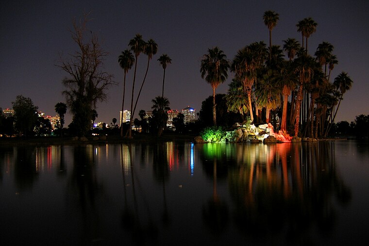
Photo: Jboeke, CC BY-SA 2.0.
Encanto Village is one of the 15 Urban villages that make up the City of Phoenix, in Arizona. The village, centered along Central Avenue, is home to the popular Midtown and Melrose Districts, as well as many historic neighborhoods, including Encanto, its namesake.
Melrose District
Neighborhood
The Melrose District is an neighborhood located in north central Phoenix, Arizona along 7th Avenue on the borders the Encanto and Alhambra urban villages.
Phoenix

Photo: DPPed, CC BY-SA 3.0.
Phoenix is the capital of the state of Arizona, the most populous city in the American Southwest. Warm and sunny winter weather have ensured a thriving tourism industry, and the city has become the region's primary political, cultural, economic, and transportation center.
Phoenix Firefighters Association
- Type: Office
- Category: building
- Location: Maricopa County, Arizona, Southwest, United States, North America
- View on OpenStreetMap
Latitude
33.48941° or 33° 29′ 22″ northLongitude
-112.07114° or 112° 4′ 16″ westOpen location code
8559FWQH+QGOpenStreetMap ID
way 907210365OpenStreetMap feature
building=noOpenStreetMap feature
office=yes
This page is based on OpenStreetMap, Wikidata, and Wikimedia Commons.
We’d love your help improving our open data sources. Thank you for contributing.
Satellite Map
Discover Phoenix Firefighters Association from above in high-definition satellite imagery.
Notable Places Nearby
Highlights include Urban Yoga and Osborn/Central Ave.
Nearby Places
Explore places such as Blimpie and Addiction Recovery Centers.
Arizona: Must-Visit Destinations
Delve into Phoenix, Tucson, Mesa, and Flagstaff.
Curious Offices to Discover
Uncover intriguing offices from every corner of the globe.
About Mapcarta. Data © OpenStreetMap contributors and available under the Open Database License". Text is available under the CC BY-SA 4.0 license, except for photos, directions, and the map. Photo: Tobi 87, CC BY-SA 3.0.