Edeka Schulte
Edeka Schulte is a beverage shop in Lingen, Emsland, Lower Saxony. Edeka Schulte is situated nearby to the fire station Freiwillige Feuerwehr Baccum (seit März 2022), as well as near the playground Weidenkamp.| Tap on a place to explore it |
Places of Interest Nearby
Highlights include Mickelmeer and Großsteingrab auf dem Radberg.
Mickelmeer
Lake
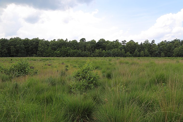
Photo: J.-H. Janßen, CC BY-SA 3.0.
Mickelmeer is a lake, which is situated 3 km southeast of Edeka Schulte.
Großsteingrab auf dem Radberg
Archaeological site

Photo: Megalithicguy, CC BY-SA 3.0.
Großsteingrab auf dem Radberg is an archaeological site, which is situated 3½ km east of Edeka Schulte.
Places in the Area
Nearby places include Langen and Brögbern.
Langen
Village

Photo: Ramsch, CC BY-SA 4.0.
Langen is a municipality in the Emsland district, in Lower Saxony, Germany. Langen is situated 5 km northeast of Edeka Schulte.
Brögbern
Village
Lingen, officially Lingen, is a town in Lower Saxony, Germany. In 2024, its population was 59,896 with 2,262 people who had registered the city as their secondary residence. Brögbern is situated 6 km northwest of Edeka Schulte.
Thuine
Village

Photo: Wikimedia, CC BY-SA 3.0 de.
Thuine is a municipality in the Emsland district, in Lower Saxony, Germany. Thuine is situated 6 km east of Edeka Schulte.
Edeka Schulte
- Type: Beverage shop
- Categories: building and shop
- Location: Lingen, Emsland, Lower Saxony, Germany, Central Europe, Europe
- View on OpenStreetMap
Latitude
52.51613° or 52° 30′ 58″ northLongitude
7.40725° or 7° 24′ 26″ eastOpen location code
9F49GC84+FVOpenStreetMap ID
way 908104691OpenStreetMap feature
building=yesOpenStreetMap feature
shop=beverages
This page is based on OpenStreetMap, Wikidata, and Wikimedia Commons.
We’d love your help improving our open data sources. Thank you for contributing.
Satellite Map
Discover Edeka Schulte from above in high-definition satellite imagery.
Notable Places Nearby
Highlights include Freiwillige Feuerwehr Baccum (seit März 2022) and Weidenkamp.
Nearby Places
Explore places such as Zum Heuland and ehem. Freiwillige Feuerwehr Baccum (bis März 2022).
Lower Saxony: Must-Visit Destinations
Delve into Hanover, Göttingen, Brunswick, and Wolfsburg.
Curious Beverage Shops to Discover
Uncover intriguing beverage shops from every corner of the globe.
About Mapcarta. Data © OpenStreetMap contributors and available under the Open Database License". Text is available under the CC BY-SA 4.0 license, except for photos, directions, and the map. Photo: Danapit, CC BY-SA 3.0.