Kläranlage Waldfeucht-Haaren
Kläranlage Waldfeucht-Haaren is a wastewater treatment plant in Waldfeucht, Heinsberg, North Rhine-Westphalia. Kläranlage Waldfeucht-Haaren is situated nearby to the church Sint-Jans-Klus, as well as near the pitch Sportplatz Haaren.| Tap on a place to explore it |
Places of Interest Nearby
Highlights include Kitscher Mühle and Feldkapelle (Hickeswinkel).
Kitscher Mühle
Farm

Photo: Wikimedia, CC BY-SA 3.0 de.
Kitscher Mühle is a farm, which is situated 540 metres northeast of Kläranlage Waldfeucht-Haaren.
Feldkapelle (Hickeswinkel)
Church
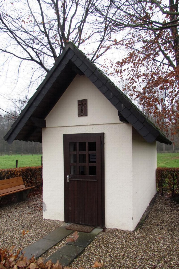
Photo: Wikimedia, CC BY-SA 3.0 de.
Feldkapelle (Hickeswinkel) is a church, which is situated 1¼ km east of Kläranlage Waldfeucht-Haaren.
Kapelle Hl. Familie
Chapel

Photo: Wikimedia, CC BY-SA 3.0 de.
Kapelle Hl. Familie is a chapel, which is situated 1½ km southeast of Kläranlage Waldfeucht-Haaren.
Places in the Area
Nearby places include Posterholt and Putbroek.
Posterholt
Village
Posterholt is a village in the Dutch province of Limburg. It is located in the municipality of Roerdalen. Posterholt is situated 2½ km north of Kläranlage Waldfeucht-Haaren.
Putbroek
Hamlet

Photo: Havang(nl), CC0.
Putbroek is a hamlet, which is situated 4 km west of Kläranlage Waldfeucht-Haaren.
Vlodrop
Village
Vlodrop is a village in the south-eastern part of The Netherlands in the municipality of Roerdalen. The village is situated near the German border, about 8 km southeast of Roermond. Vlodrop is situated 4½ km northeast of Kläranlage Waldfeucht-Haaren.
Kläranlage Waldfeucht-Haaren
- Type: Wastewater treatment plant
- Category: industry
- Location: Waldfeucht, Heinsberg, Cologne District, North Rhine-Westphalia, Germany, Central Europe, Europe
- View on OpenStreetMap
Latitude
51.09634° or 51° 5′ 47″ northLongitude
6.04291° or 6° 2′ 35″ eastOperator
Wasserverband Eifel-RurOpen location code
9F3832WV+G5OpenStreetMap ID
way 91007144OpenStreetMap feature
landuse=industrialOpenStreetMap feature
man_made=wastewater_plant
This page is based on OpenStreetMap, Wikidata, and Wikimedia Commons.
We’d love your help improving our open data sources. Thank you for contributing.
Satellite Map
Discover Kläranlage Waldfeucht-Haaren from above in high-definition satellite imagery.
Notable Places Nearby
Highlights include Sint-Jans-Klus and Sportplatz Haaren.
Nearby Places
Explore places such as Die Hecke and St. Jans-Klus und Kischer Hof.
North Rhine-Westphalia: Must-Visit Destinations
Delve into Cologne, Düsseldorf, Bonn, and Dortmund.
Curious Wastewater Treatment Plants to Discover
Uncover intriguing wastewater treatment plants from every corner of the globe.
About Mapcarta. Data © OpenStreetMap contributors and available under the Open Database License". Text is available under the CC BY-SA 4.0 license, except for photos, directions, and the map. Photo: Daniel Schwen, CC BY-SA 2.5.