Thietal
Thietal is a meadow in Gröningen, Börde Rural District, Saxony-Anhalt. Thietal is situated nearby to the peak Kepper-Berg, as well as near the town Gröningen.| Tap on a place to explore it |
Places of Interest Nearby
Highlights include Dorfkirche Dalldorf and St. Liborius.
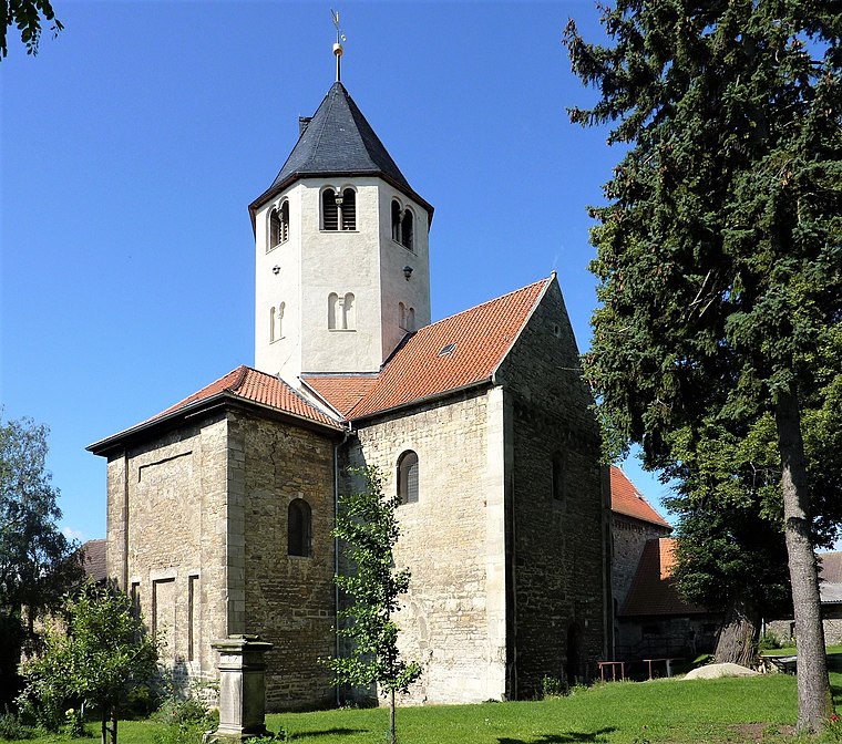
Dorfkirche Dalldorf
Church

Photo: Olaf2, CC BY-SA 3.0.
Dorfkirche Dalldorf is a church, which is situated 1¼ km southeast of Thietal.
St. Liborius
Church

Photo: Kirchenfan, CC0.
St. Liborius is a church, which is situated 2½ km northwest of Thietal.
St. Martini (Gröningen)
Church

Photo: Olaf2, CC BY-SA 3.0.
St. Martini (Gröningen) is a church, which is situated 2½ km west of Thietal.
Places in the Area
Nearby places include Gröningen and Gröningen Priory.
Gröningen
Town
Photo: Kirchenfan, CC0.
Gröningen is a town in the Börde district in Saxony-Anhalt, Germany. It lies approx. 40 km south-west of Magdeburg, and 10 km east of Halberstadt. It has 3.621 inhabitants. Gröningen is part of the Verbandsgemeinde Westliche Börde. Gröningen is situated 2½ km west of Thietal.
Gröningen Priory
Village
 Gröningen Priory was a Benedictine monastery, located west of Gröningen in present-day Saxony-Anhalt, Germany. The abbey church is part of the Romanesque Road scenic route. Gröningen Priory is situated 4 km west of Thietal.
Heteborn
Village
Heteborn is a village and a former municipality in the district of Harz, in Saxony-Anhalt, Germany. Since 1 January 2010, it is part of the municipality Selke-Aue. Heteborn is situated 5 km southeast of Thietal.
Thietal
- Type: Meadow
- Location: Gröningen, Börde Rural District, Saxony-Anhalt, Germany, Central Europe, Europe
- View on OpenStreetMap
Latitude
51.92883° or 51° 55′ 44″ northLongitude
11.25026° or 11° 15′ 1″ eastOpen location code
9F3HW7H2+G4OpenStreetMap ID
way 91237933OpenStreetMap feature
landuse=meadow
This page is based on OpenStreetMap, Wikidata, and Wikimedia Commons.
We’d love your help improving our open data sources. Thank you for contributing.
Satellite Map
Discover Thietal from above in high-definition satellite imagery.
Notable Places Nearby
Highlights include Kepper-Berg and Sporthalle Gröningen.
Nearby Places
Explore places such as Dalldorf, Hauptstraße and Grundlos.
Saxony-Anhalt: Must-Visit Destinations
Delve into Magdeburg, Halle, Wittenberg, and Quedlinburg.
Curious Meadows to Discover
Uncover intriguing meadows from every corner of the globe.
About Mapcarta. Data © OpenStreetMap contributors and available under the Open Database License". Text is available under the CC BY-SA 4.0 license, except for photos, directions, and the map. Photo: GMM, Public domain.