Centre ocupacional ACYPSA
Centre ocupacional ACYPSA is a school in Alaquàs, Valencia, Valencian Community. Centre ocupacional ACYPSA is situated nearby to the school Institut d’Educació Secundària Carles Salvador, as well as near the public building Centre Social Benàger.| Tap on a place to explore it |
Places of Interest Nearby
Highlights include Castell-Palau dels Aguilar and Church of Our Lady of El Olivar.
Castell-Palau dels Aguilar
Castle
 Castell-Palau dels Aguilar is a castle, which is situated 280 metres south of Centre ocupacional ACYPSA.
Church of Our Lady of El Olivar
Church
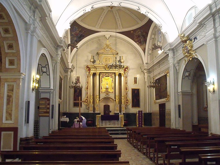
Photo: 19Tarrestnom65, CC BY-SA 3.0.
Church of Our Lady of El Olivar is situated 570 metres southwest of Centre ocupacional ACYPSA.
Aldaia railway station
Railway station

Photo: 19Tarrestnom65, CC BY-SA 3.0.
Aldaia railway station is situated 610 metres west of Centre ocupacional ACYPSA.
Places in the Area
Nearby places include Alaquàs and Aldaia.
Alaquàs
Town

Photo: Qoan, CC BY-SA 3.0.
Alaquàs is a municipality in the Horta Oest comarca in the Valencian Community.
Aldaia
Town

Photo: Qoan, CC BY-SA 3.0.
Aldaia is a municipality in the comarca of Horta Oest, province of Valencia, Valencian Community, Spain.
Xirivella
Town

Photo: Qoan, CC BY-SA 3.0.
Xirivella is a municipality in the Valencian Community, Spain. It borders the city of Valencia, Alaquàs, Picanya and Mislata. The municipality is divided by the V-30 motorway and the river Turia, with the La Luz district on the eastern part of the river.
Centre ocupacional ACYPSA
- Type: School
- Category: education
- Location: Alaquàs, Valencia, Valencian Community, Eastern Spain, Spain, Iberia, Europe
- View on OpenStreetMap
Latitude
39.46031° or 39° 27′ 37″ northLongitude
-0.45663° or 0° 27′ 24″ westOpen location code
8CFXFG6V+48OpenStreetMap ID
way 914452751OpenStreetMap feature
amenity=school
This page is based on OpenStreetMap, Wikidata, and Wikimedia Commons.
We’d love your help improving our open data sources. Thank you for contributing.
Satellite Map
Discover Centre ocupacional ACYPSA from above in high-definition satellite imagery.
Notable Places Nearby
Highlights include Institut d’Educació Secundària Carles Salvador and Centre Social Benàger.
Nearby Places
Explore places such as Centre de discapacitats psíquics and CFAE Agència de desenvolupament local.
Valencia: Must-Visit Destinations
Delve into Valencia, Sagunto, Gandía, and Xàtiva.
Curious Places to Discover
Uncover intriguing places from every corner of the globe.
About Mapcarta. Data © OpenStreetMap contributors and available under the Open Database License". Text is available under the CC BY-SA 4.0 license, except for photos, directions, and the map. Photo: andruby, CC BY 2.0.