Hermagor Heilstätte
Hermagor Heilstätte is a building in Hermagor-Pressegger See, Hermagor District, Carinthia. Hermagor Heilstätte is situated nearby to the hotel Pension Villa Blumegg, as well as near the church Schneerosenkirche Hermagor.| Tap on a place to explore it |
Places of Interest Nearby
Highlights include Schneerosenkirche Hermagor and Pfarrkirche Hermagor.
Schneerosenkirche Hermagor
Church

Photo: Johann Jaritz, CC BY-SA 3.0 at.
Schneerosenkirche Hermagor is a church, which is situated 160 metres south of Hermagor Heilstätte.
Pfarrkirche Hermagor
Church
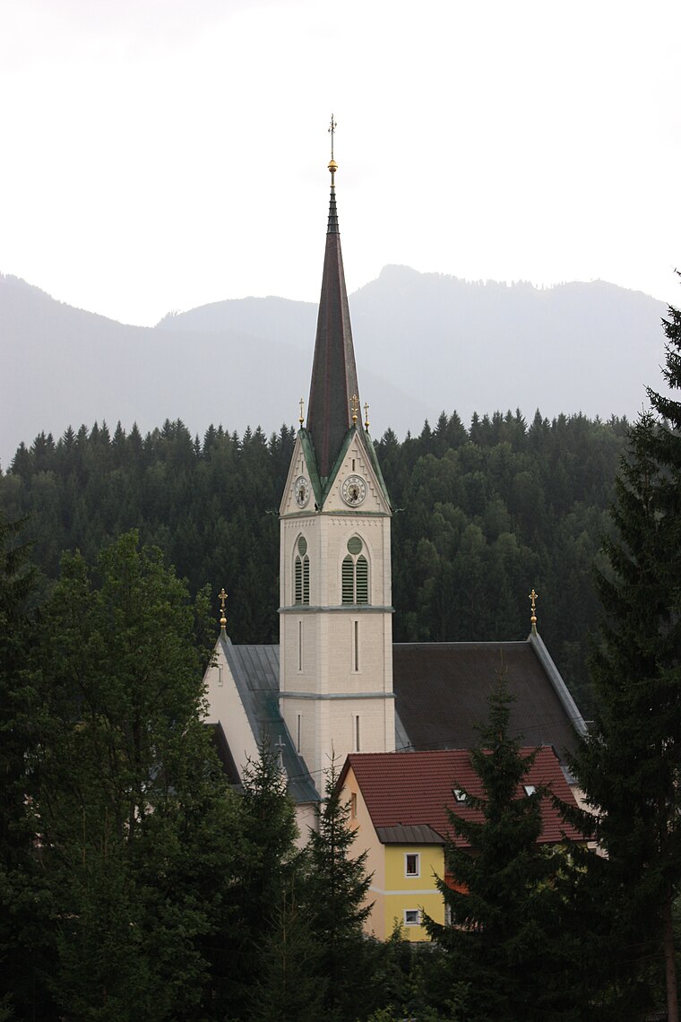
Photo: Mefusbren69, Public domain.
Pfarrkirche Hermagor is a church, which is situated 320 metres southwest of Hermagor Heilstätte.
Bahnhof Hermagor
Railway station

Photo: Bahnfan44789, CC BY-SA 4.0.
Bahnhof Hermagor is a railway station, which is situated 500 metres southeast of Hermagor Heilstätte.
Places in the Area
Nearby places include Hermagor and Watschig.

Watschig
Village

Photo: Johann Jaritz, CC BY-SA 4.0.
Watschig is a village, which is situated 5 km west of Hermagor Heilstätte.
Tröpolach
Village

Photo: Pnapora, CC BY-SA 4.0.
Tröpolach is a village, which is situated 7 km west of Hermagor Heilstätte.
Hermagor Heilstätte
- Type: Building
- Location: Hermagor-Pressegger See, Hermagor District, Carinthia, Austria, Central Europe, Europe
- View on OpenStreetMap
Latitude
46.62995° or 46° 37′ 48″ northLongitude
13.37142° or 13° 22′ 17″ eastOperator
KNG-Kärnten Netz GmbHOpen location code
8FRMJ9HC+XHOpenStreetMap ID
way 914754527OpenStreetMap feature
building=service
This page is based on OpenStreetMap, Wikidata, and Wikimedia Commons.
We’d love your help improving our open data sources. Thank you for contributing.
Satellite Map
Discover Hermagor Heilstätte from above in high-definition satellite imagery.
Notable Places Nearby
Highlights include Pension Villa Blumegg and Pfarrhof.
Nearby Places
Explore places such as Hermagor LKH and Hermagor Nord.
Carinthia: Must-Visit Destinations
Delve into Klagenfurt, Villach, Wörthersee, and Spittal an der Drau.
Curious Buildings to Discover
Uncover intriguing buildings from every corner of the globe.
About Mapcarta. Data © OpenStreetMap contributors and available under the Open Database License". Text is available under the CC BY-SA 4.0 license, except for photos, directions, and the map. Photo: Wikimedia, CC BY-SA 3.0.