USF Cruz de Malta
USF Cruz de Malta is a clinic in Malta e Canidelo, Vila do Conde, Porto District. USF Cruz de Malta is situated nearby to the chapel Capela de Santa Apolónia, as well as near the garden Largo dos Carvalhos.| Tap on a place to explore it |
Places of Interest Nearby
Highlights include Modivas Sul metro station and Modivas Centro metro station.
Modivas Sul metro station
Railway station
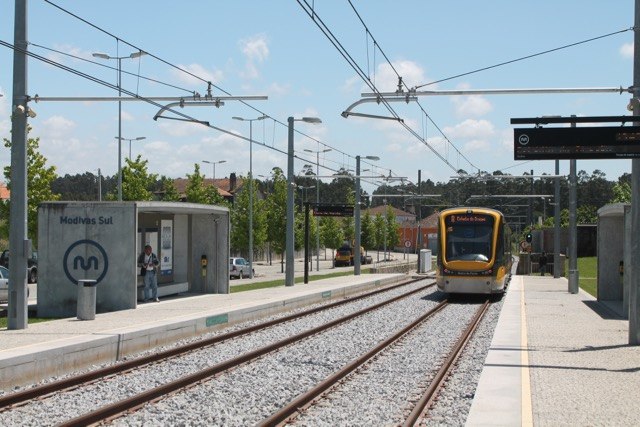
Photo: Ernstkers, CC BY-SA 4.0.
Modivas Sul metro station is a railway station, which is situated 3 km southwest of USF Cruz de Malta.
Modivas Centro metro station
Railway station

Photo: Ernstkers, CC BY-SA 4.0.
Modivas Centro metro station is a railway station, which is situated 3 km west of USF Cruz de Malta.
Fashion Outlet metro station
Railway station

Photo: Docas1984, CC BY-SA 4.0.
Fashion Outlet metro station is a railway station, which is situated 3½ km west of USF Cruz de Malta.
Places in the Area
Nearby places include Gião and Modivas.
Gião
Village
Gião is a civil parish in the municipality of Vila do Conde, Portugal. The population in 2011 was 1,756, in an area of 5.66 km².
Modivas
Village
Photo: Ernstkers, CC BY-SA 4.0.
Modivas is a civil parish in the municipality of Vila do Conde, Portugal. The population in 2011 was 1,806, in an area of 4.10 km². Modivas is situated 2½ km west of USF Cruz de Malta.
Vairão
Village
Fornelo e Vairão is a civil parish in the municipality of Vila do Conde, Portugal. It was formed in 2013 by the merger of the former parishes Fornelo and Vairão. The population in 2011 was 2,643, in an area of 10.85 km2. Vairão is situated 3½ km north of USF Cruz de Malta.
USF Cruz de Malta
- Type: Clinic
- Categories: health care and building
- Location: Malta e Canidelo, Vila do Conde, Porto District, Portugal, Iberia, Europe
- View on OpenStreetMap
Latitude
41.29873° or 41° 17′ 55″ northLongitude
-8.66381° or 8° 39′ 50″ westOpen location code
8CHH78XP+FFOpenStreetMap ID
way 914846886OpenStreetMap feature
amenity=clinicOpenStreetMap feature
building=yesOpenStreetMap feature
healthcare=clinic
This page is based on OpenStreetMap, Wikidata, and Wikimedia Commons.
We’d love your help improving our open data sources. Thank you for contributing.
Satellite Map
Discover USF Cruz de Malta from above in high-definition satellite imagery.
Notable Places Nearby
Highlights include Capela de Santa Apolónia and Largo dos Carvalhos.
Nearby Places
Explore places such as BP and Escola Básica da Igreja, Malta.
Portugal: Must-Visit Destinations
Delve into Lisbon, Caldas da Rainha, Porto, and Coimbra.
Curious Clinics to Discover
Uncover intriguing clinics from every corner of the globe.
About Mapcarta. Data © OpenStreetMap contributors and available under the Open Database License". Text is available under the CC BY-SA 4.0 license, except for photos, directions, and the map. Photo: Jcchemical, CC BY-SA 3.0.