Bauerle Ranch Community Park
Bauerle Ranch Community Park is a park in Travis, Texas. Bauerle Ranch Community Park is situated nearby to the swimming pool Broccoli Pool, as well as near Wardour Ln Park.| Tap on a place to explore it |
Places of Interest Nearby
Highlights include Shady Hollow and Southland Oaks Neighborhood Park.
Shady Hollow
Residential area
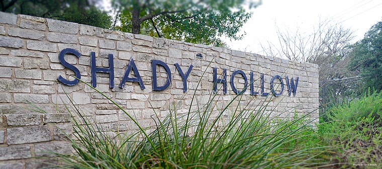
Photo: Chris.w.braun, CC BY-SA 4.0.
Shady Hollow is a census-designated place in southwestern Travis County, Texas, United States, and is partially in the City of Austin. It is located ten miles southwest of Downtown Austin, near the Travis/Hays county line. Shady Hollow is situated 1¼ miles west of Bauerle Ranch Community Park.
Southland Oaks Neighborhood Park
Park

Photo: StuckInLagToad, CC BY-SA 4.0.
Southland Oaks Neighborhood Park is situated 1½ miles west of Bauerle Ranch Community Park.
Lost Oasis Cave Preserve
Nature reserve

Photo: VPaleontologist, CC BY-SA 4.0.
Lost Oasis Cave Preserve is a nature reserve, which is situated 2 miles west of Bauerle Ranch Community Park.
Places in the Area
Nearby places include Manchaca and San Leanna.
Manchaca
Village
Photo: WhisperToMe, Public domain.
Manchaca is a census-designated place in Travis County, Texas, United States. It is located 10 miles southwest of downtown Austin. This was a new CDP for the 2020 census with a population of 2,266. Manchaca is situated 2 miles south of Bauerle Ranch Community Park.
San Leanna
Village

Photo: WhisperToMe, Public domain.
San Leanna is a village in Travis County, Texas, United States. The population was 522 at the 2020 census. San Leanna is situated 2 miles southeast of Bauerle Ranch Community Park.
Hays
Village
Hays is a city in Hays County, Texas, United States. The population was 227 at the 2020 census. Hays is situated 3½ miles southwest of Bauerle Ranch Community Park.
Bauerle Ranch Community Park
- Type: Park
- Category: recreation area
- Location: Travis, Texas, United States, North America
- View on OpenStreetMap
Latitude
30.16573° or 30° 9′ 57″ northLongitude
-97.84041° or 97° 50′ 26″ westOpen location code
86245585+7ROpenStreetMap ID
way 919481326OpenStreetMap feature
leisure=park
This page is based on OpenStreetMap, Wikidata, and Wikimedia Commons.
We’d love your help improving our open data sources. Thank you for contributing.
Satellite Map
Discover Bauerle Ranch Community Park from above in high-definition satellite imagery.
Notable Places Nearby
Highlights include Broccoli Pool and Wardour Ln Park.
Nearby Places
Explore places such as Lynnbrook and Reserve at Lynnbrook.
Texas: Must-Visit Destinations
Delve into Houston, Austin, Dallas, and San Antonio.
Curious Parks to Discover
Uncover intriguing parks from every corner of the globe.
About Mapcarta. Data © OpenStreetMap contributors and available under the Open Database License". Text is available under the CC BY-SA 4.0 license, except for photos, directions, and the map. Photo: Wikimedia, CC0.