Wintersportzentrum Hirtenteich
Wintersportzentrum Hirtenteich is a parking area in Baden-Württemberg, Germany. Wintersportzentrum Hirtenteich is situated nearby to the spring Remsursprung, as well as near the scenic viewpoint Panoramablick auf Essingen.| Tap on a place to explore it |
Places of Interest Nearby
Highlights include Remsursprung and Ruine Lauterburg.

Ruine Lauterburg
Castle

Photo: Geak, Copyrighted free use.
Ruine Lauterburg is a castle, which is situated 1¼ km southwest of Wintersportzentrum Hirtenteich.

Places in the Area
Nearby places include Lauterburg and Lautern.

Essingen
Village

Photo: Wikimedia, CC BY-SA 4.0.
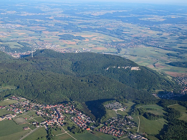
Essingen is a municipality in the Ostalbkreis in the State of Baden-Württemberg in Germany. It lies about 73 km east of Stuttgart, just outside the city of Aalen. Essingen is situated 3½ km northeast of Wintersportzentrum Hirtenteich.
Wintersportzentrum Hirtenteich
- Type: Parking area
- Parking: surface
- Category: transportation
- Location: Baden-Württemberg, Germany, Central Europe, Europe
- View on OpenStreetMap
Latitude
48.7902° or 48° 47′ 25″ northLongitude
9.99094° or 9° 59′ 27″ eastOpen location code
8FWFQXRR+39OpenStreetMap ID
way 92060009OpenStreetMap feature
amenity=parkingOpenStreetMap attribute
parking=surface
This page is based on OpenStreetMap, Wikidata, and Wikimedia Commons.
We’d love your help improving our open data sources. Thank you for contributing.
Satellite Map
Discover Wintersportzentrum Hirtenteich from above in high-definition satellite imagery.
Notable Places Nearby
Highlights include Panoramablick auf Essingen and Hinterer Hirtenteich.
Nearby Places
Explore places such as SCA-Skihütte and Remsursprung.
Baden-Württemberg: Must-Visit Destinations
Delve into Stuttgart, Heidelberg, Karlsruhe, and Mannheim.
Curious Parking Areas to Discover
Uncover intriguing parking areas from every corner of the globe.
About Mapcarta. Data © OpenStreetMap contributors and available under the Open Database License". Text is available under the CC BY-SA 4.0 license, except for photos, directions, and the map. Photo: Traveler100, CC BY-SA 3.0.