Villa Lessing
Villa Lessing is a building in Saarbrücken, Saarland which is located on Lessingstraße. Villa Lessing is situated nearby to the park Staden, as well as near the church Die Christengemeinschaft.| Tap on a place to explore it |
- Email: info@villa-lessing.de
- Type: Foundation
- Address: Lessingstraße 10, Saarbrücken, 66121
Places of Interest Nearby
Highlights include Staden and Ulanendenkmal.

Ulanendenkmal
Work of art
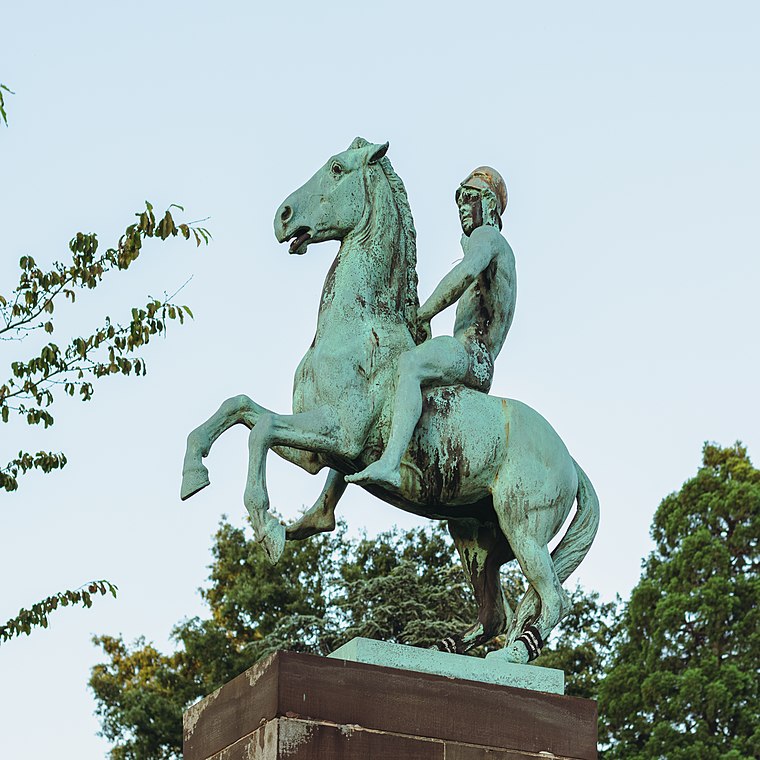
Photo: FlocciNivis, CC BY 4.0.
Ulanendenkmal is a work of art, which is situated 270 metres southwest of Villa Lessing.
Daarler Brücke
Bridge
 Daarler Brücke is a bridge, which is situated 440 metres southeast of Villa Lessing.
Places in the Area
Nearby places include Sankt Johann and Nauwieser Viertel.
Sankt Johann
Suburb
 Sankt Johann is part of the city of Saarbrücken in Saarland, Germany. It lies on the right bank of the Saar, opposite historic Saarbrücken, and is 79 kilometres northeast of Metz, France.

Quartier Eurobahnhof
Neighborhood

Photo: Tromla, CC BY-SA 4.0.
Quartier Eurobahnhof is a neighborhood.
Villa Lessing
- Categories: building and office
- Location: Saarbrücken, Saarbrücken, Saarland, Germany, Central Europe, Europe
- View on OpenStreetMap
Latitude
49.22684° or 49° 13′ 37″ northLongitude
7.00946° or 7° 0′ 34″ eastOperator
Liberale Stiftung SaarOpen location code
8FX962G5+PQOpenStreetMap ID
way 92195732OpenStreetMap feature
building=yesOpenStreetMap feature
office=foundation
This page is based on OpenStreetMap, Wikidata, and Wikimedia Commons.
We’d love your help improving our open data sources. Thank you for contributing.
Satellite Map
Discover Villa Lessing from above in high-definition satellite imagery.
Places with the Same Name
Discover other places named “Villa Lessing”.
Notable Places Nearby
Highlights include Die Christengemeinschaft and machtdich.fit.
Nearby Places
Explore places such as Physiotherapie Am Staden and dmsg Deutsche Multiple Sklerose Gesellschaft Landesverband Saar e.V..
Saarland: Must-Visit Destinations
Delve into Saarlouis, Homburg, Merzig, and Neunkirchen.
Curious Places to Discover
Uncover intriguing places from every corner of the globe.
About Mapcarta. Data © OpenStreetMap contributors and available under the Open Database License". Text is available under the CC BY-SA 4.0 license, except for photos, directions, and the map. Photo: Inkey, CC BY 2.0.